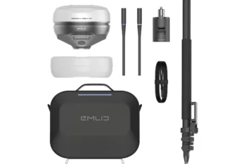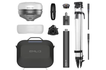
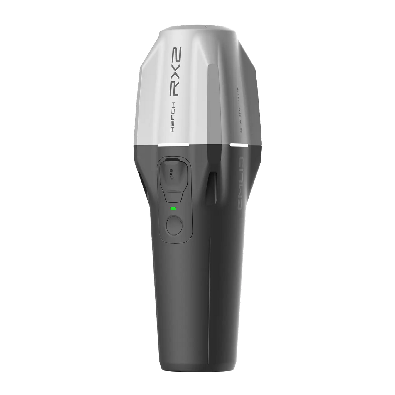
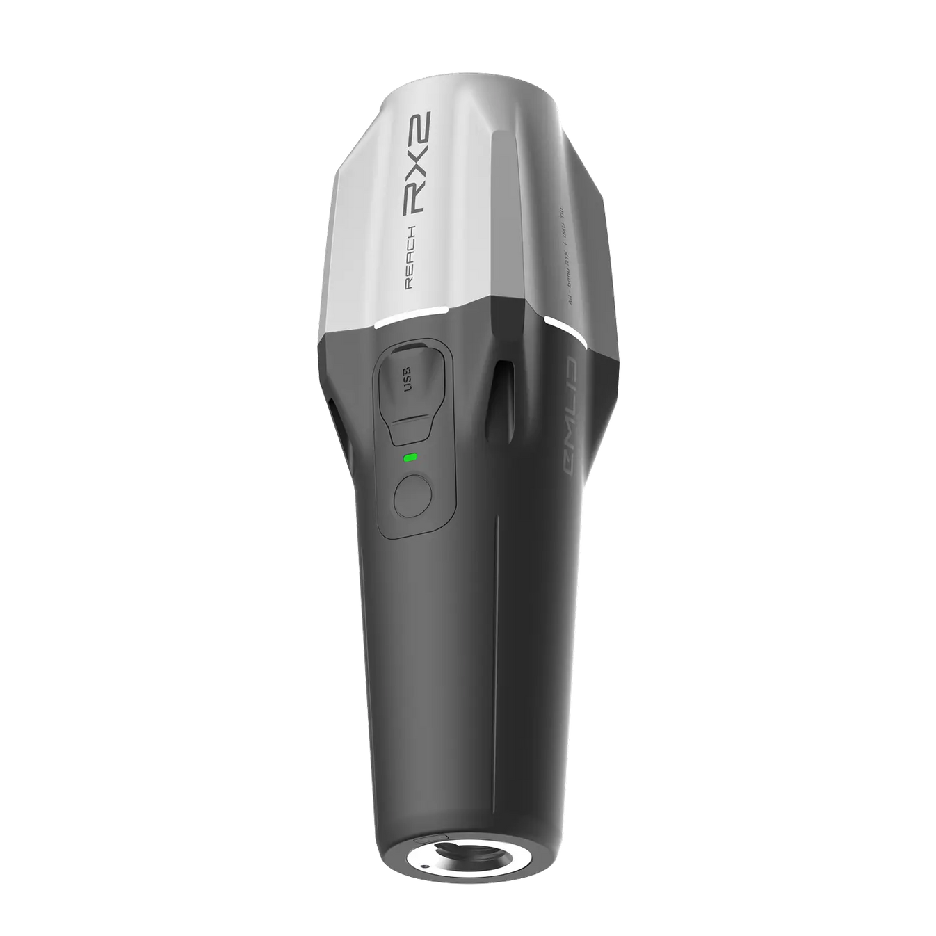
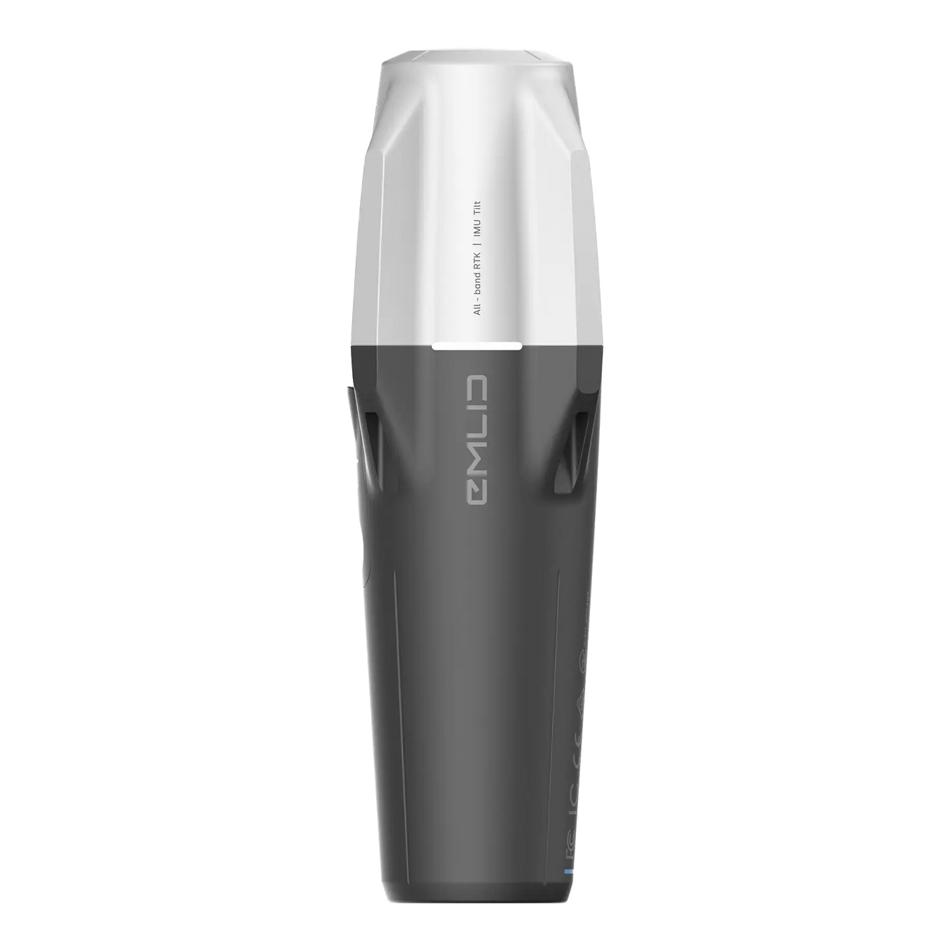
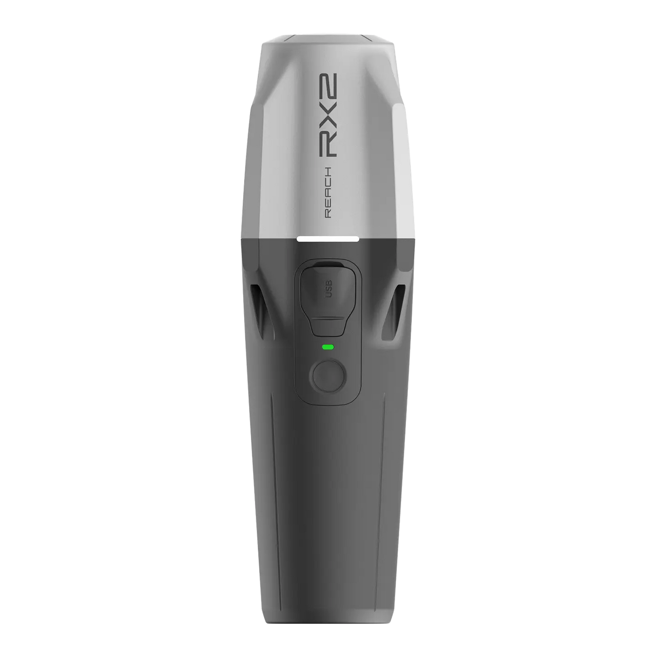
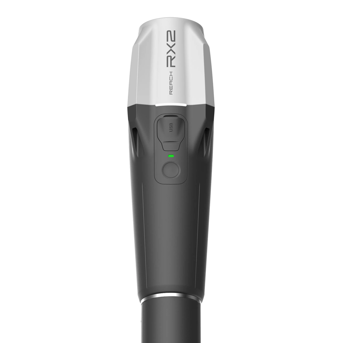
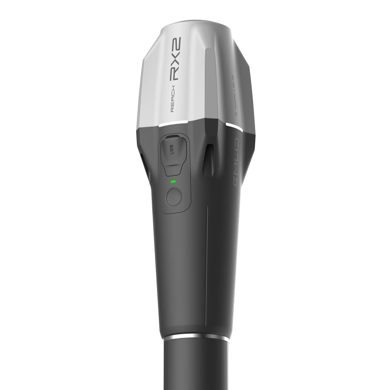
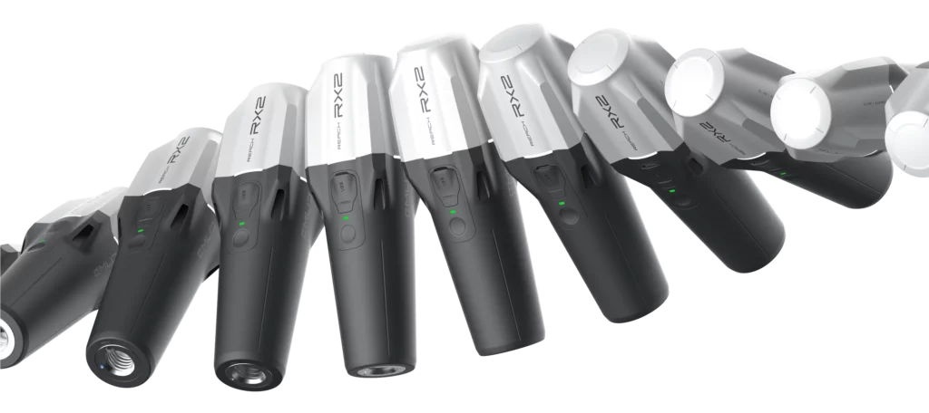
Beskrivelse
All-band RTK rover with tilt compensation. Effective teamwork with accuracy that fits in your pocket.
Fast and precise in any landscape
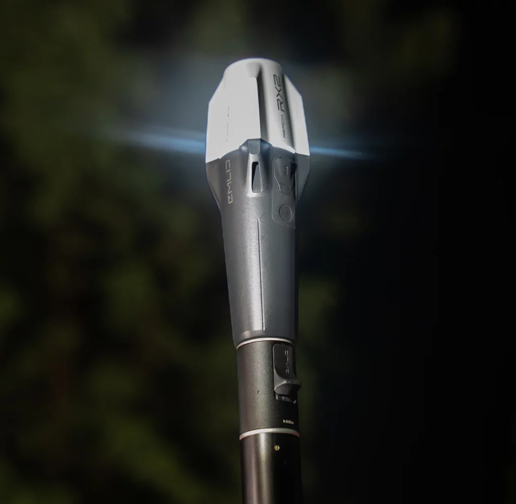
Accurate on the tilt
The RX2 maintains centimeter accuracy even at high tilt angles. Perfect for measuring near walls, slopes, or tight spaces without leveling the pole.
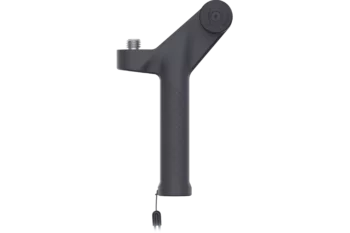
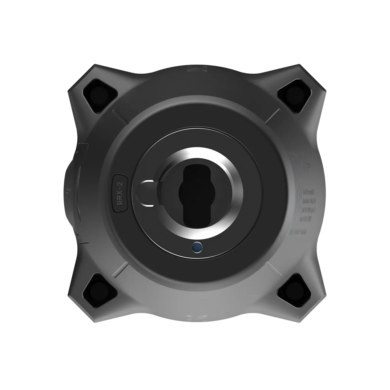
Quick release mount
Designed to secure the RX2 to a pole quickly and without any backlash.
No setup required
Tilt compensation is on after just a short walk. No extra steps or calibration.
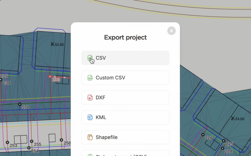
Fits your workflow
Ready for data collection and design layout
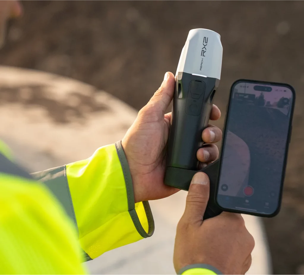
Every RX2 comes with Emlid Flow, our user-friendly app for iOS and Android that assists with a variety of field tasks in areas such as construction, utilities, GIS and landscaping.
All your data is instantly synced to the cloud, meaning your office team always has the latest updates.
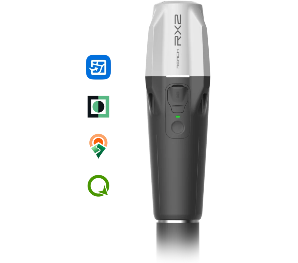
Compatible with Esri and other GIS apps
Integrate high-accuracy GPS data into your familiar workflow. This is perfect for local and state governments, urban planning, digital twins, water management, nature conservation, and much more besides.
With Apple MFi certification, RX2 connects natively and reliably to iPhones and iPads. It also works seamlessly with Android devices.
RX2 supports all popular data collection apps, including ArcGIS Field Maps, QField, Survey123, Mergin Maps, and more.
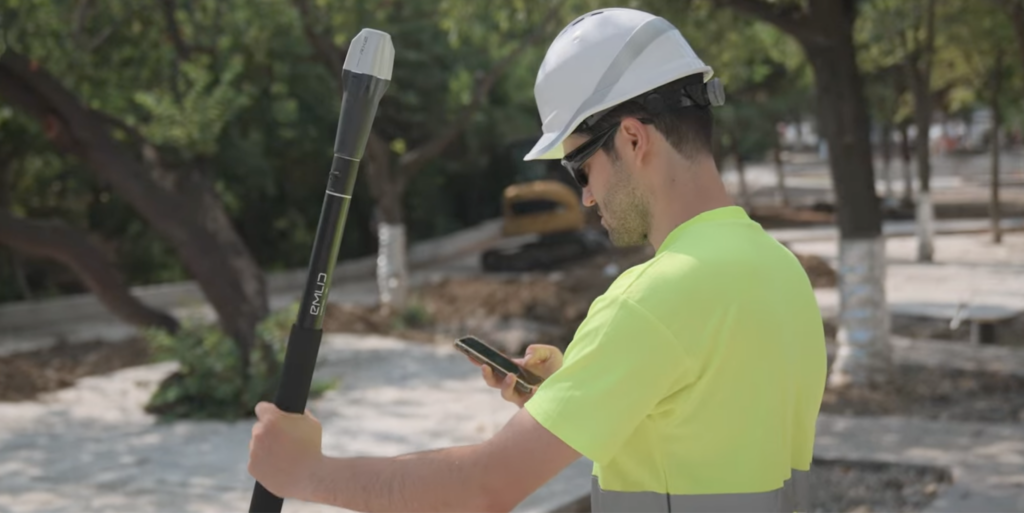
Terrestrial scanning with centimeter precision
RX2 supports terrestrial scanning with high accuracy — just mount it on a handle and pair it with a scanning app like PIX4Dcatch.
Capture precise 3D models of vertical surfaces and hard-to-reach areas for utility mapping, volume calculations, and as-built documentation.
High accuracy, even under canopy
Centimeter-level accuracy
Simply connect the RX2 to a CORS network to receive corrections and get a precise location in RTK.
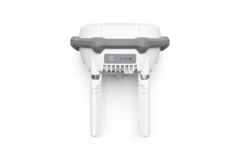
All-band rover
It tracks all bands of GPS, GLONASS, Galileo, Beidou, QZSS and NavIC. This ensures fast, stable performance under canopies and near buildings.
Built to keep up with you in the field
 Up to 18 hours of battery life
It lasts for two full working days and can be easily charged via USB-C.
Weather-resistant
Rain, snow or hot sun, RX2 is ready for it.
Scales with your team
Emlid Flow keeps your team on the same page with dedicated collaboration tools for real-time field-to-office data sharing, progress tracking, and solving problems before they become costly.
RX2 is designed for teams. It works right out of the box and is fast to learn, so anyone can start collecting accurate data right away. No training days or reading long manuals.
See how RX was deployed across Deutsche Telekom’s nationwide project to map thousands of assets efficiently.
Specification
Mechanical
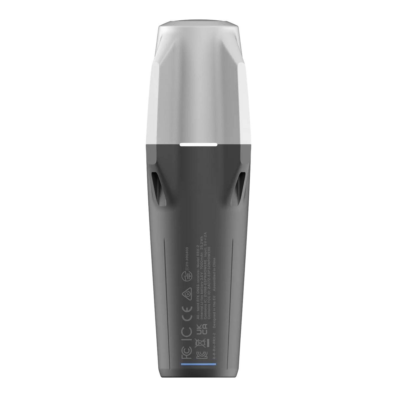
- Dimensions: 172 x 51 x 51 mm (6.77 x 2.00 x 2.00 in)
- Mount: 5/8”-11 UNC and quick release
- Weight: 280 g (0.62 lb)
- Operating tº: -20 to +65 ºC (-4 a 149 °F)
- Ingress protection: IP68 (maximum depth of 1.5 meters up to 30 minutes)
Electrical
- Autonomy: Up to 16 hrs
- Battery: Li-Ion 7000 mAh, 3.6V, 25.2 Wh
- Charging: USB Type-C, 5V 2A
- Certification: FCC, CE, IC, MFi
Positioning
- RTK: H: 7 mm + 1 ppm, V: 14 mm + 1 ppm
- Tilt: RTK + 2 mm + 0.3 mm/°
- Convergence time: ~5 s typically
Connectivity
- Communication interface: Bluetooth 4.2 (BR/EDR + LE)
- Ports: USB Type-C
Data
- Input data format: RTCM3
- Input data protocol: NTRIP
- Position data format: NMEA
GNSS
- Signal tracked:
- GPS: L1C/A, L2C, L5,
- GLONASS: L1OF, L2OF,
- Galileo: E1-B/C, E5a, E6,
- BeiDou: B1I, B1C, B2a, B3I,
- QZSS: L1C/A, L1C/B11, L2C, L5,
- NavIC: L1-SPS Data, L5-SPS
- Number of channels: 672
- Update rate: 5 Hz