
Beskrivelse
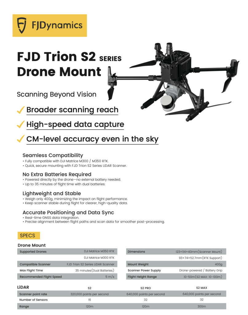
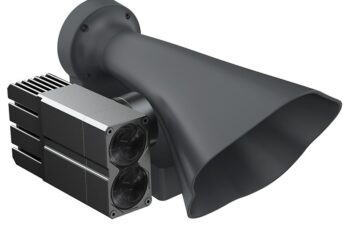
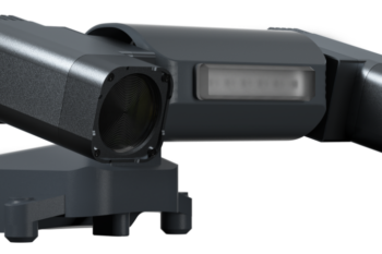
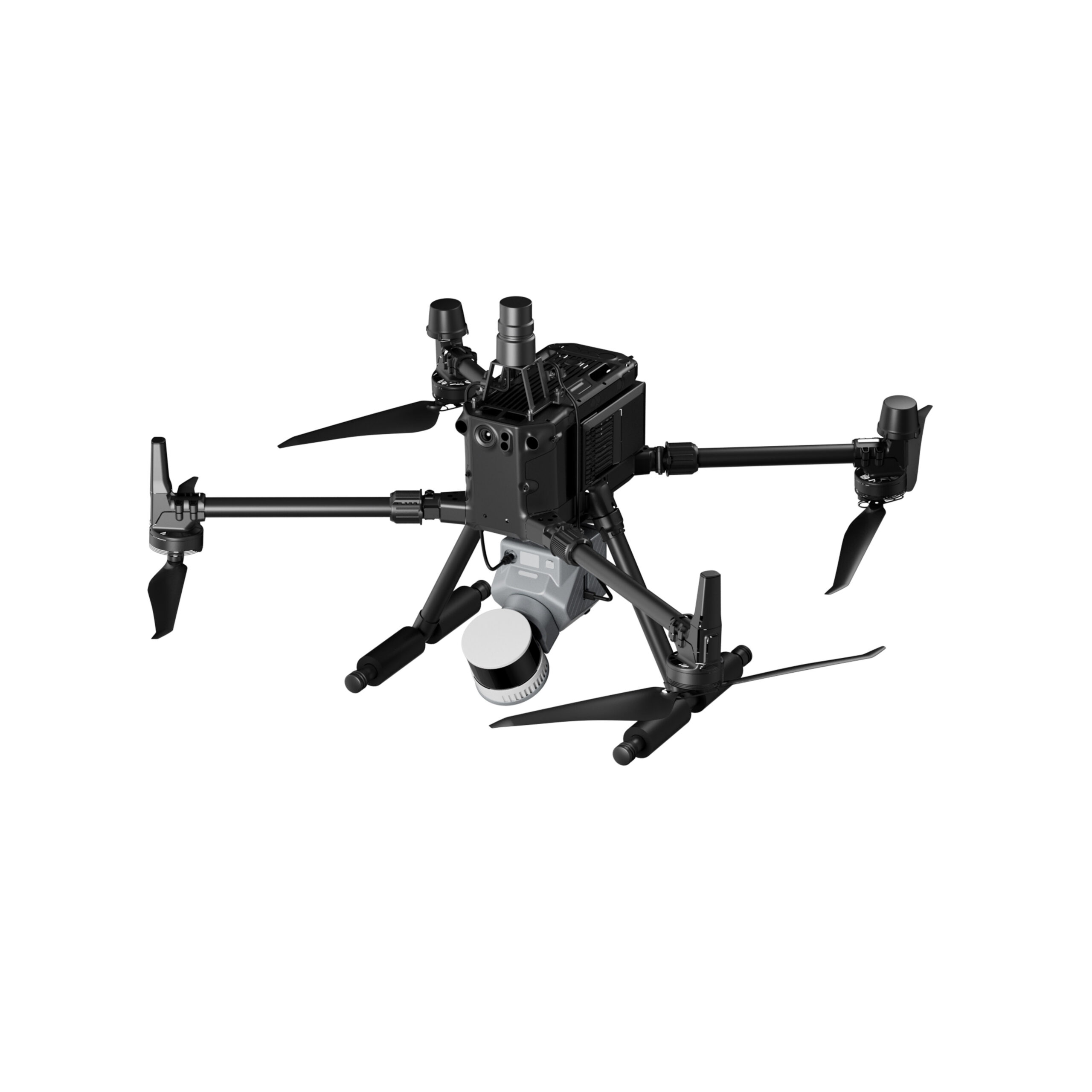
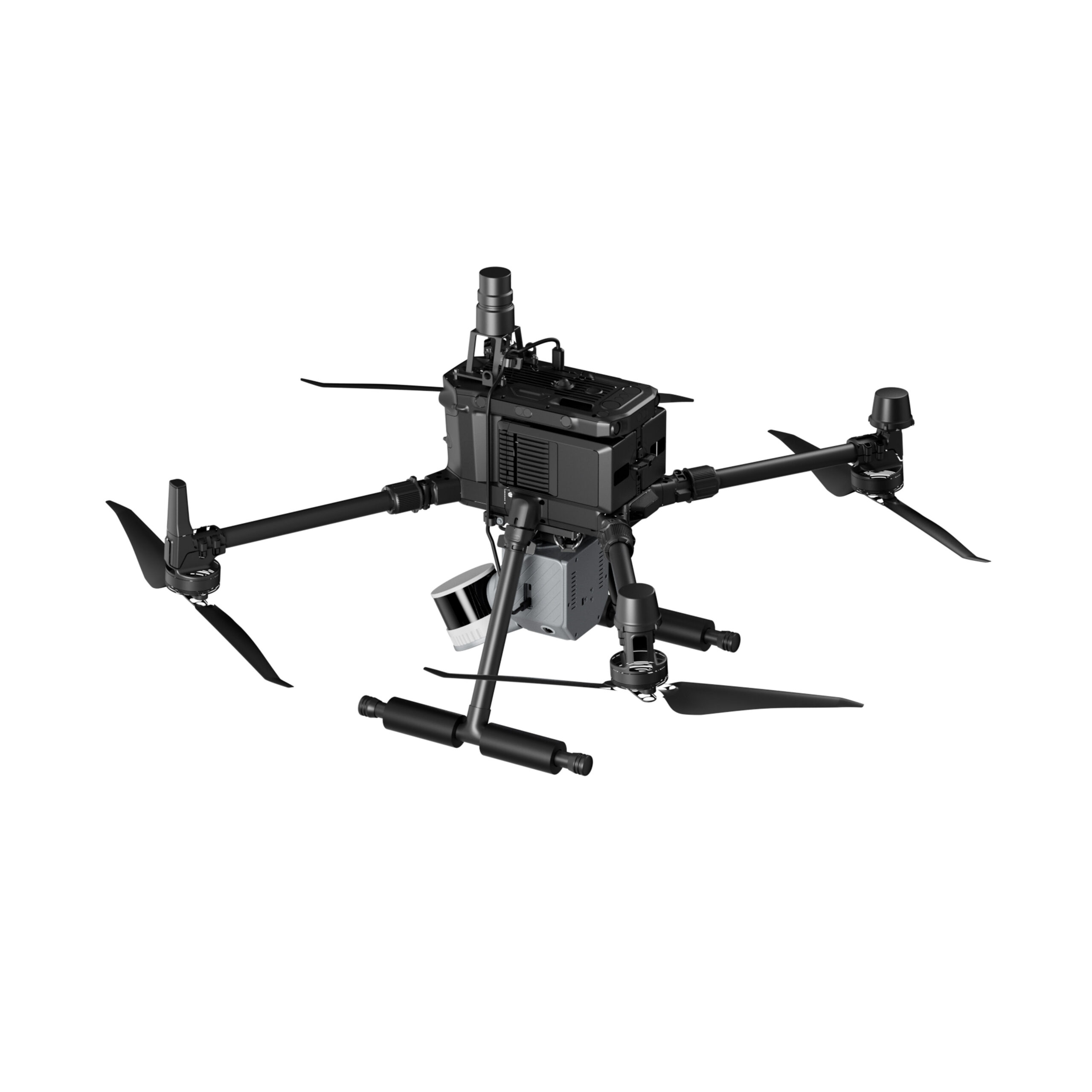
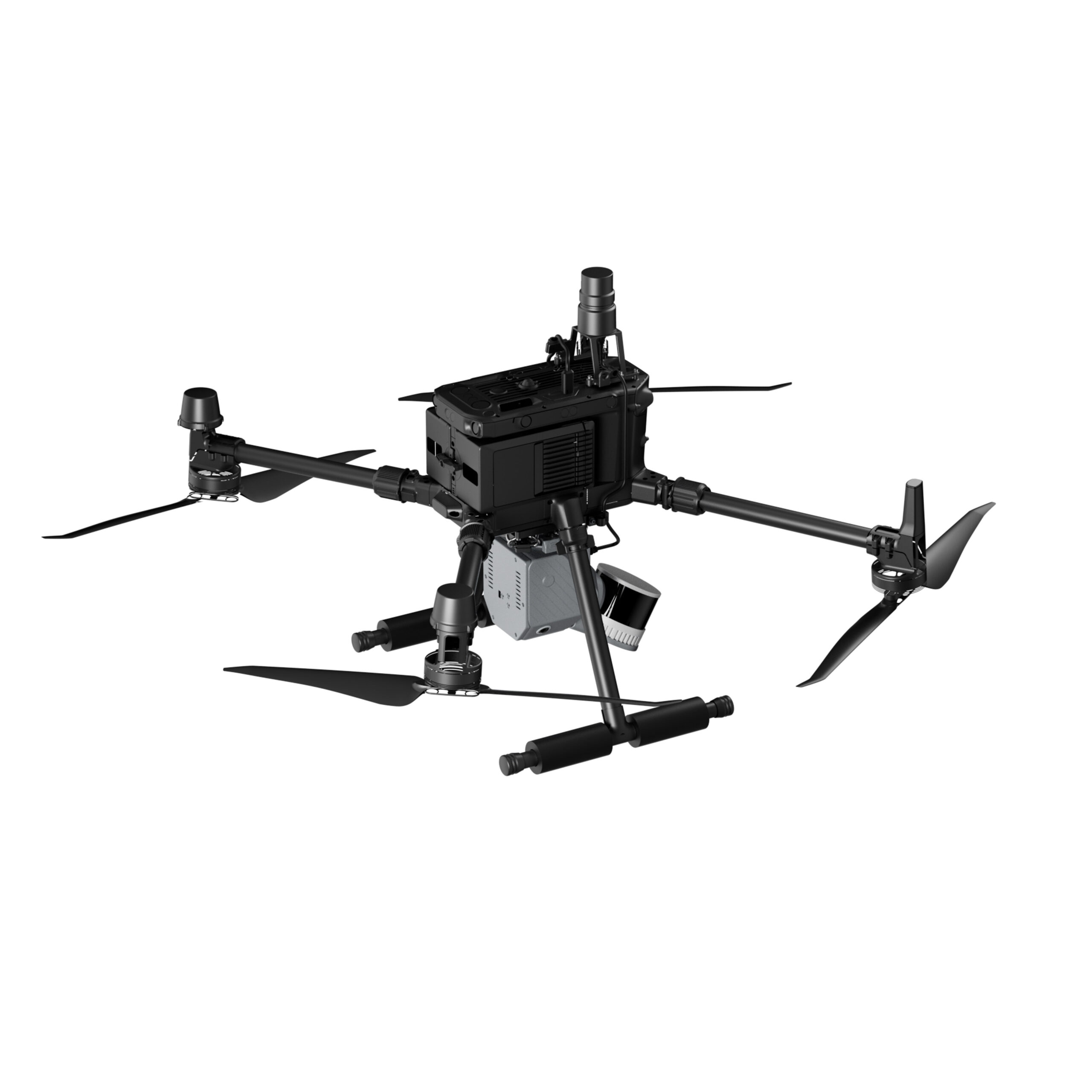
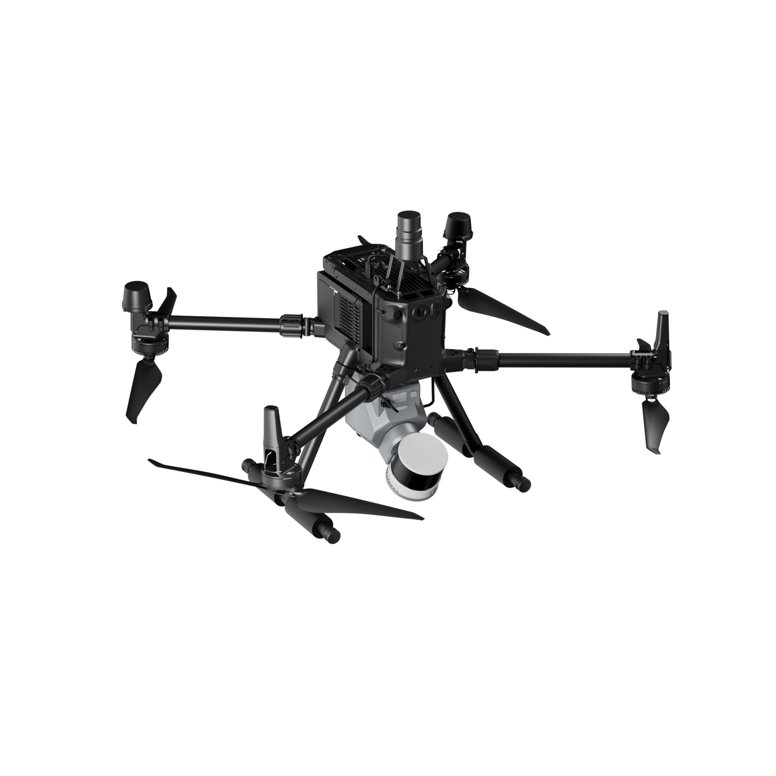
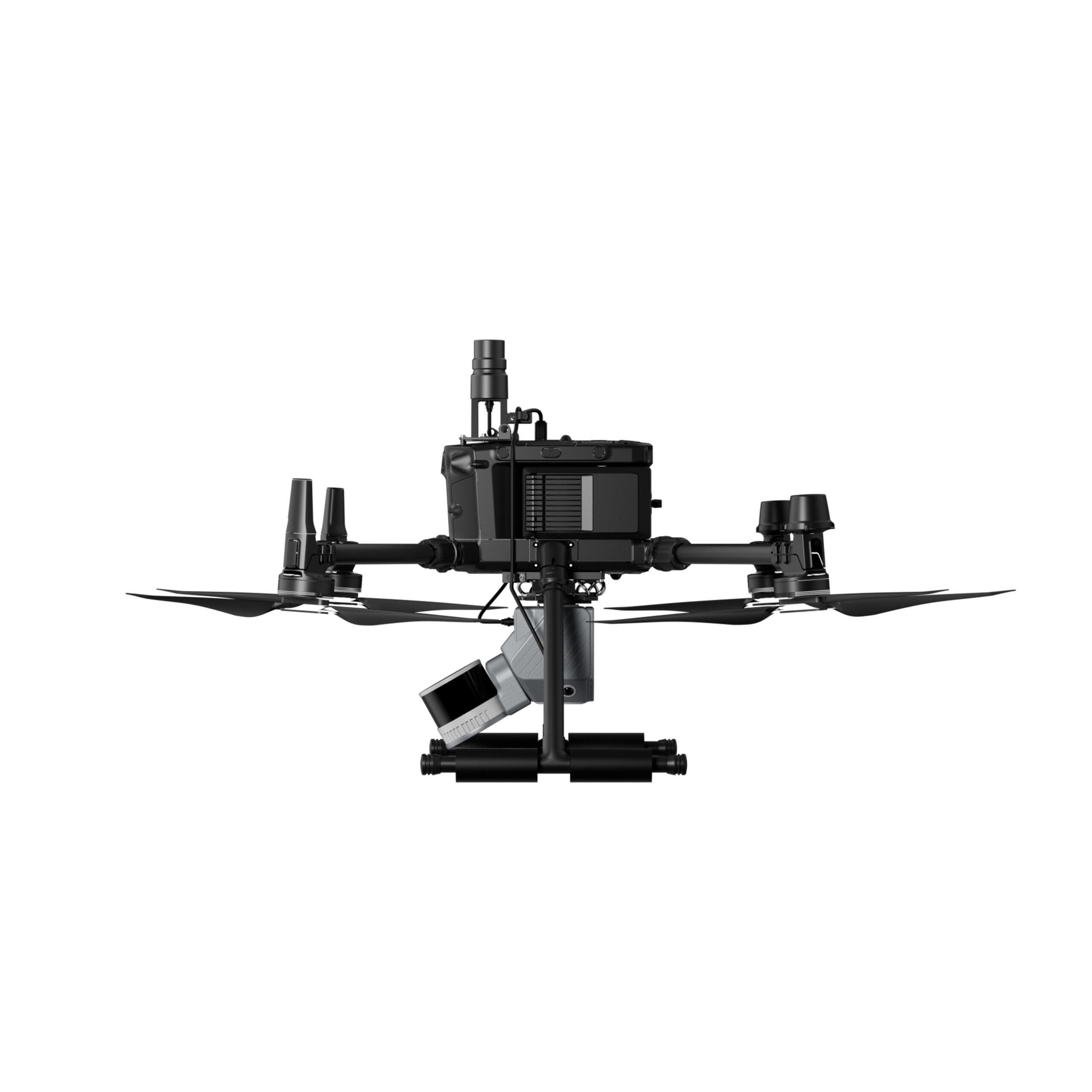
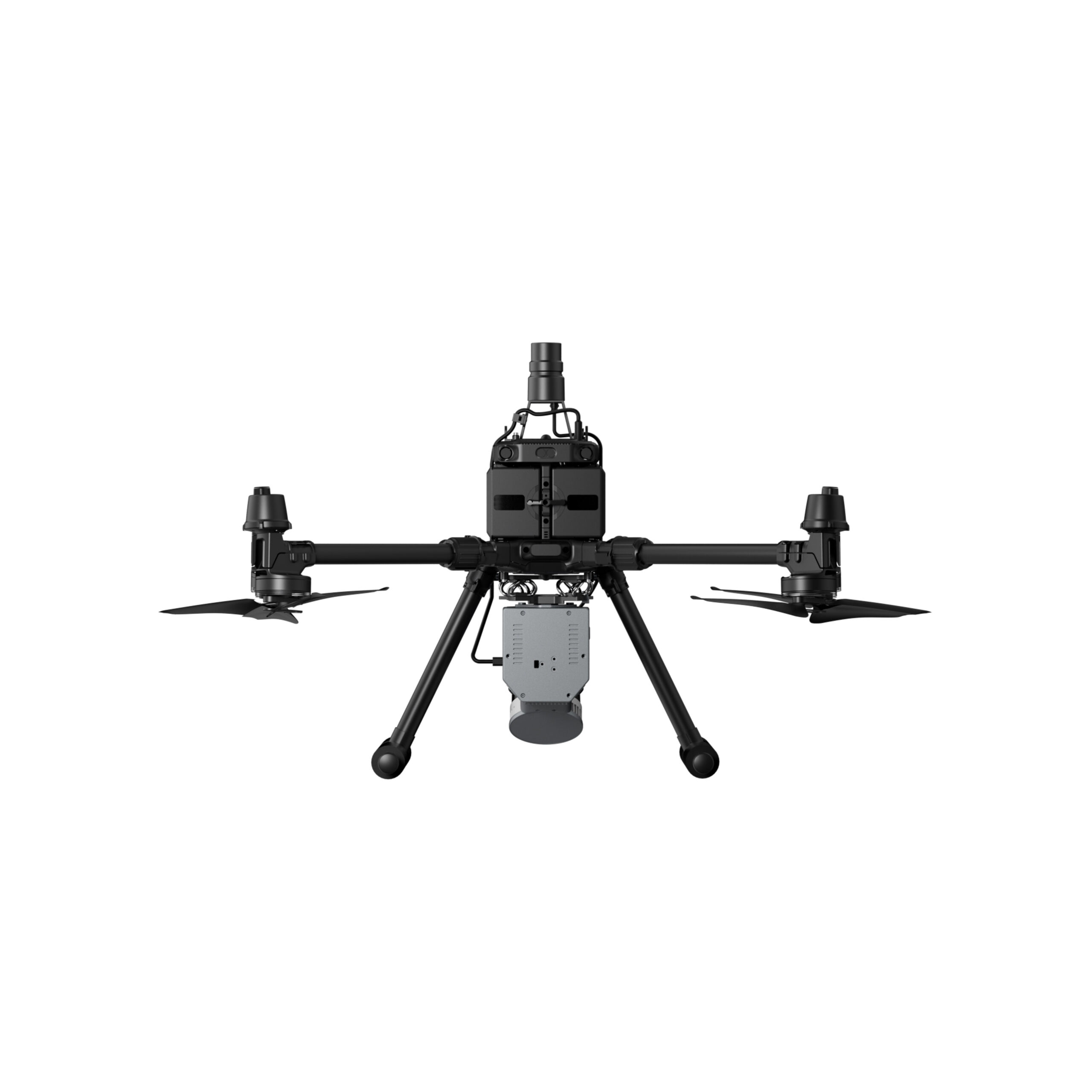
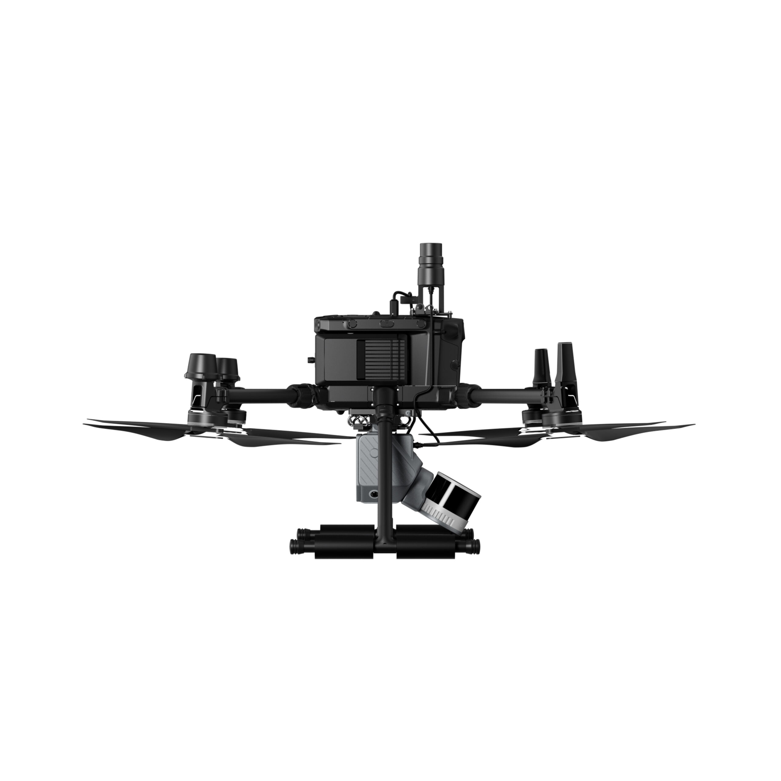
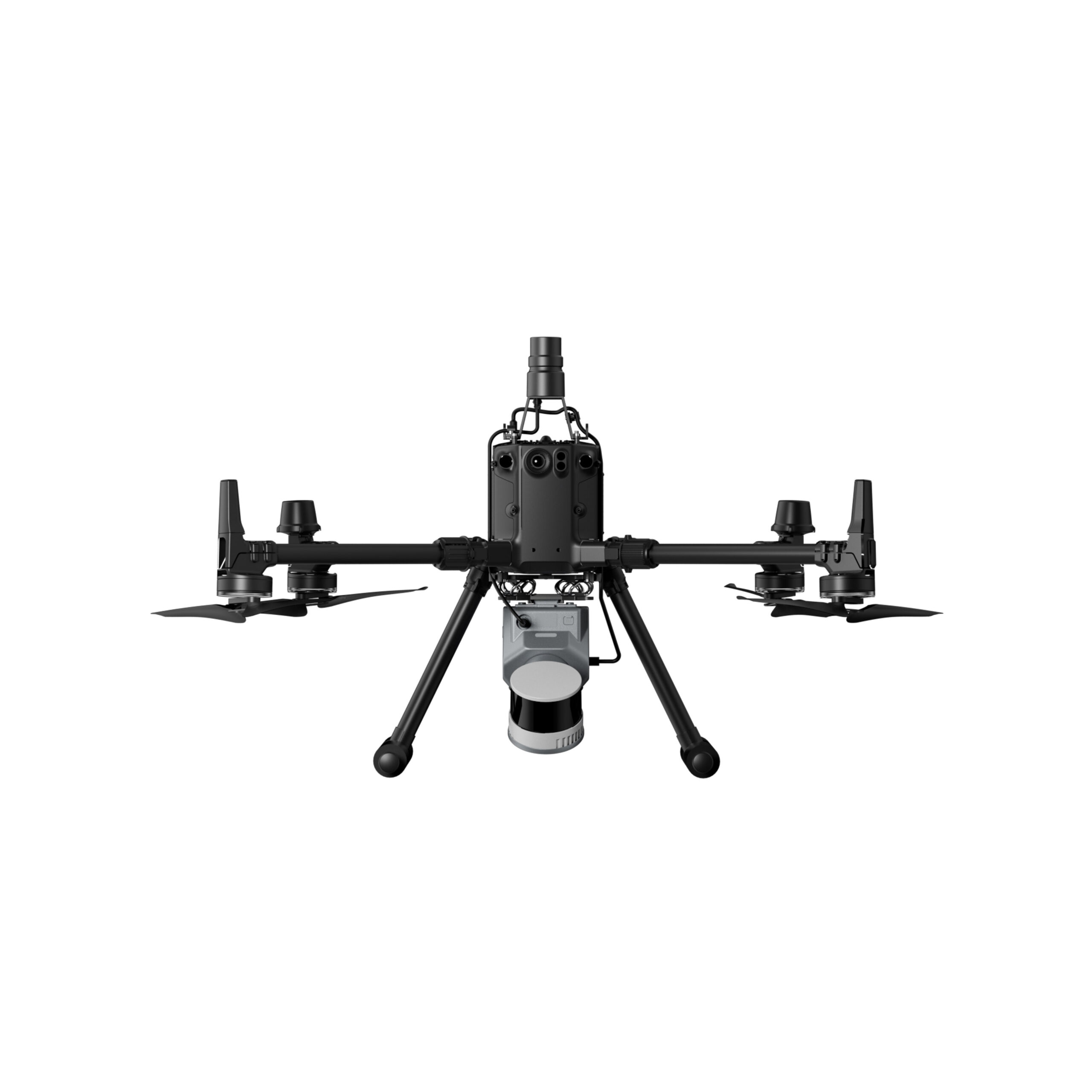
Drone-mounted scanning system expands aerial data collection, surpassing traditional ground-based limitations. Capture large-scale data from elevated perspectives, making it perfect for building clusters, large infrastructure, and topographic mapping.