What are you looking for?
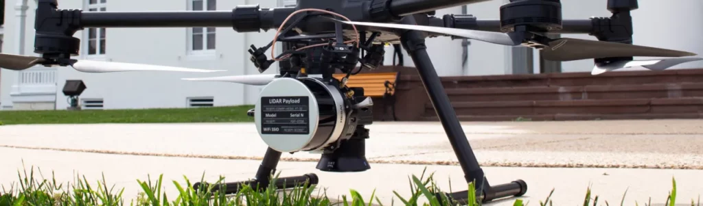
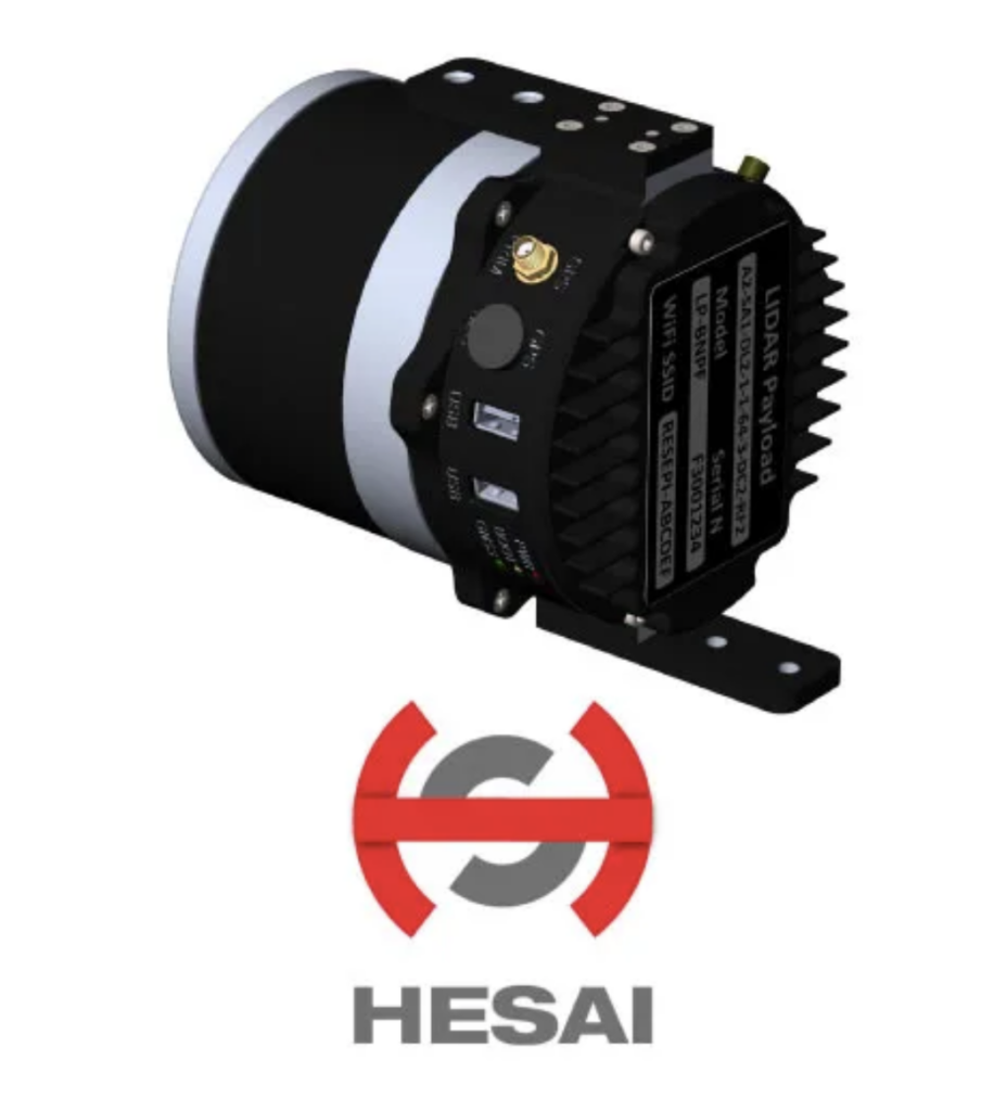
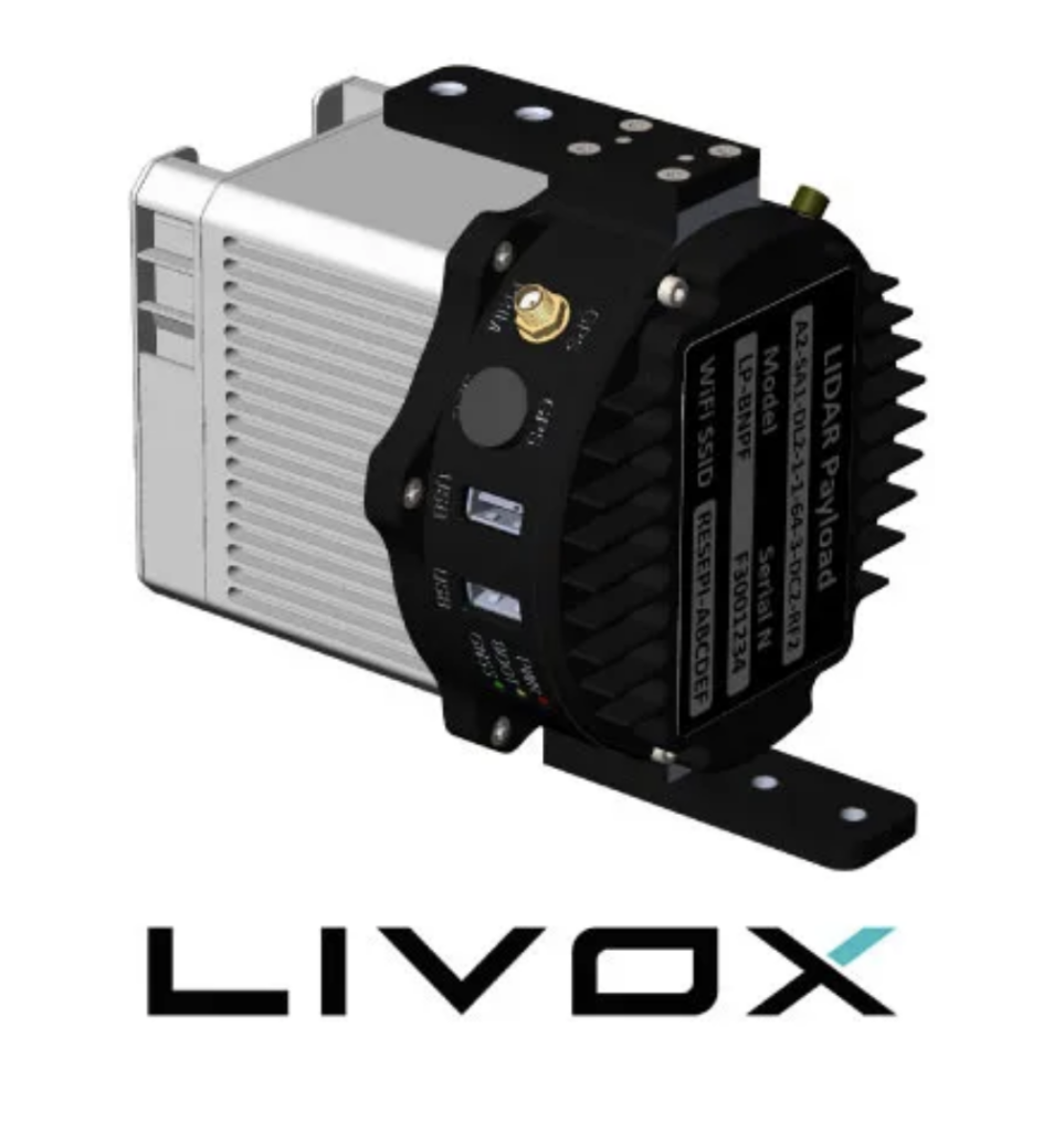
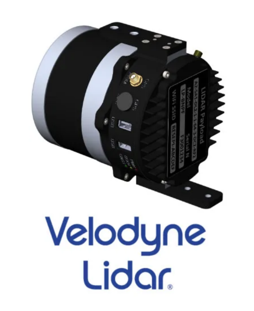
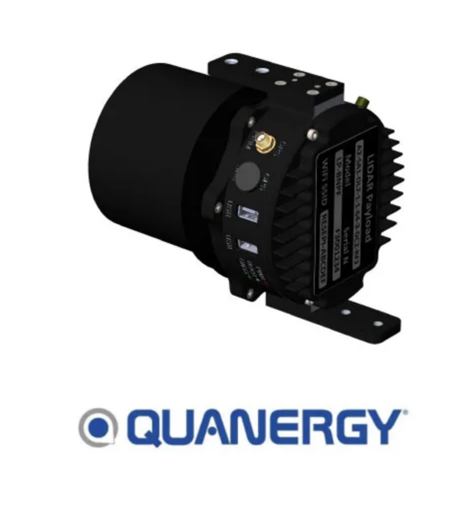
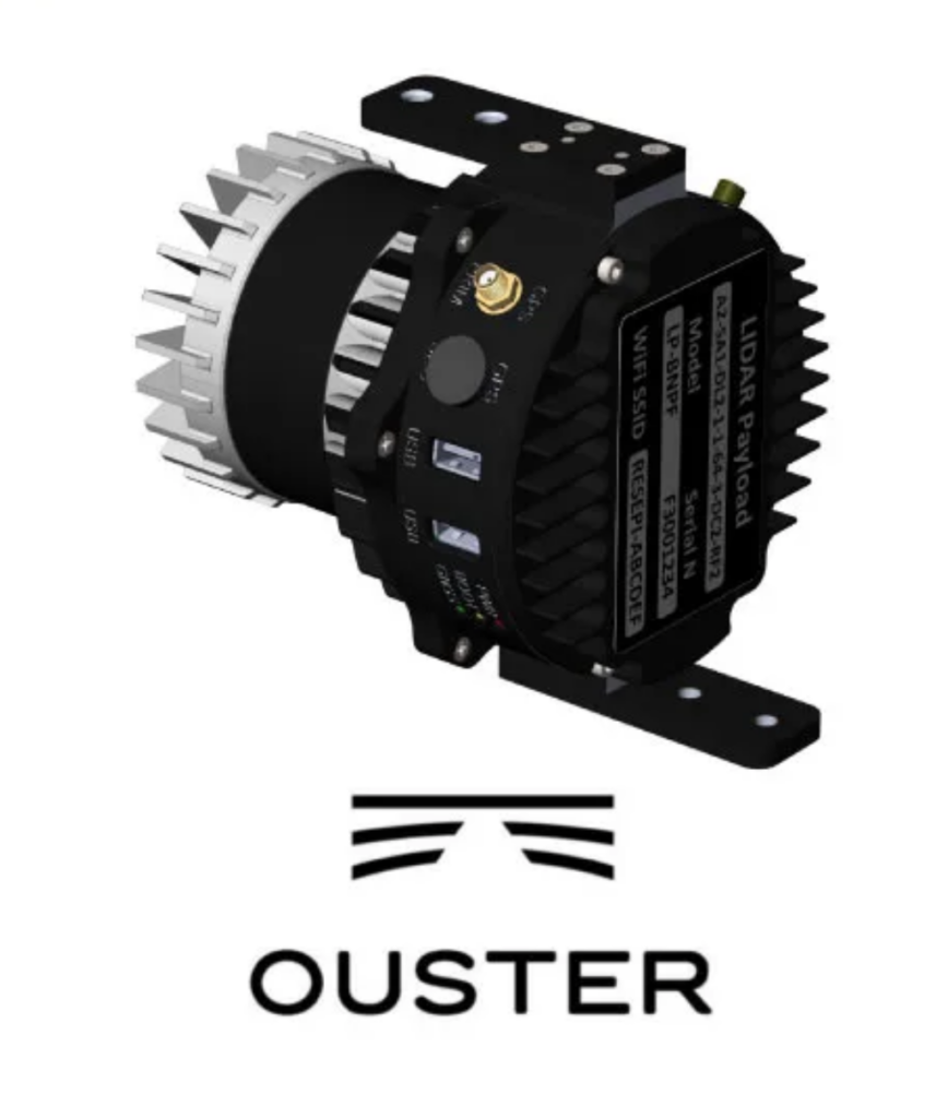
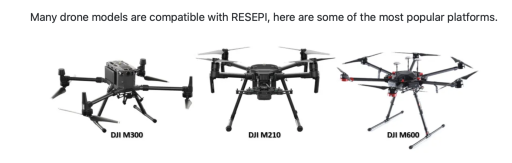
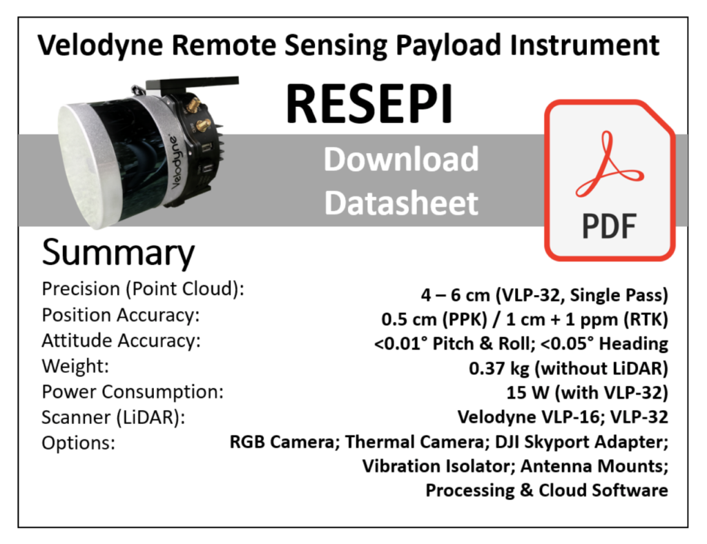
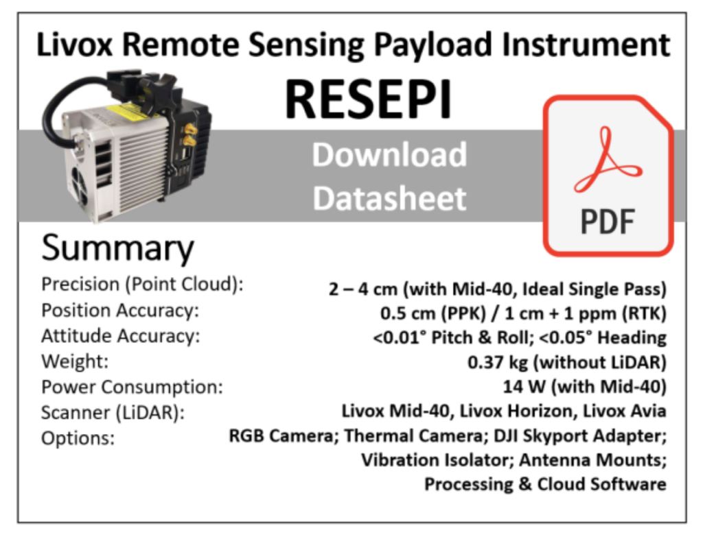
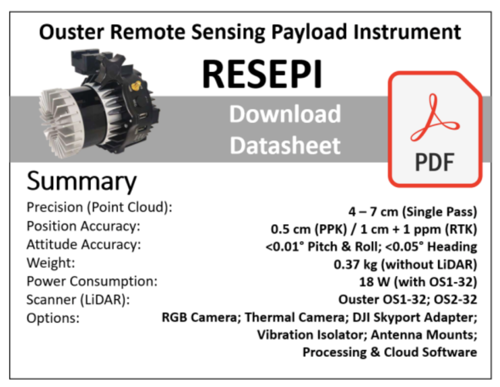
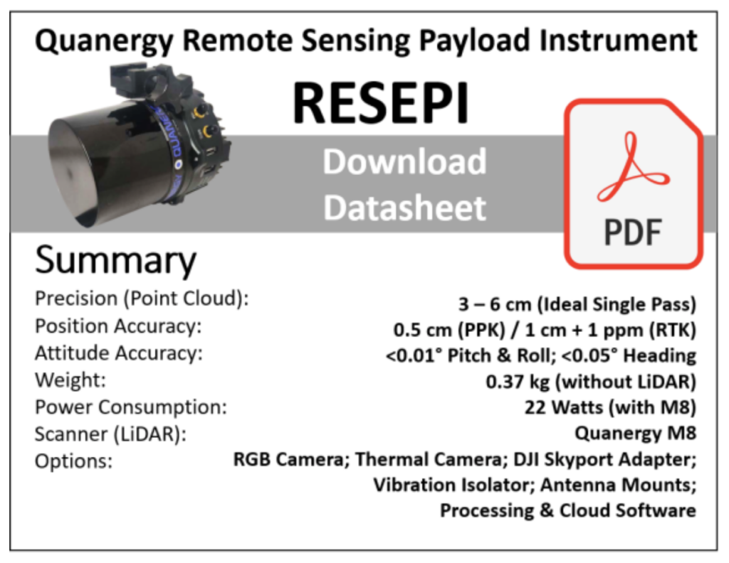
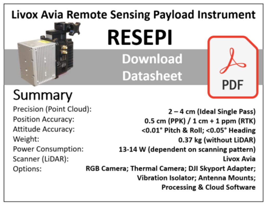
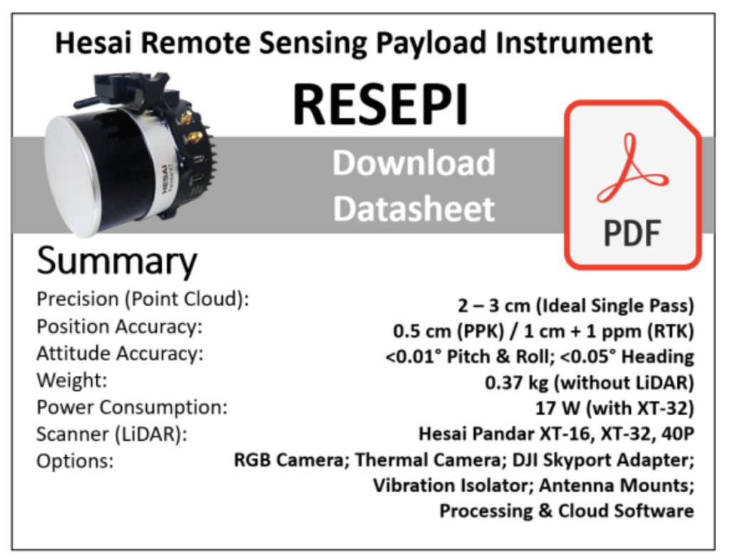
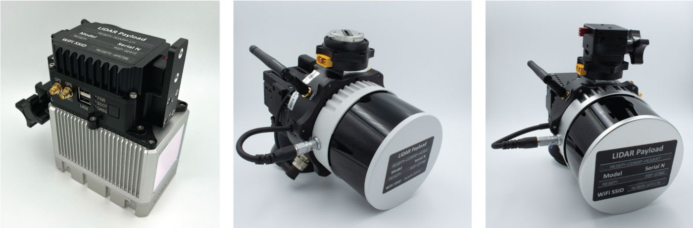
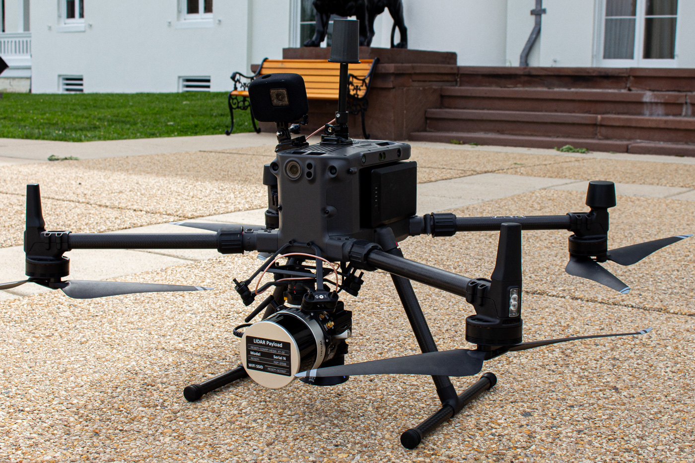
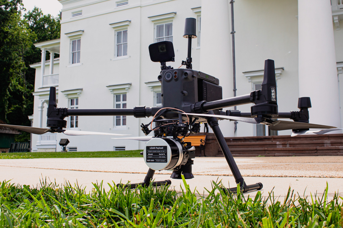
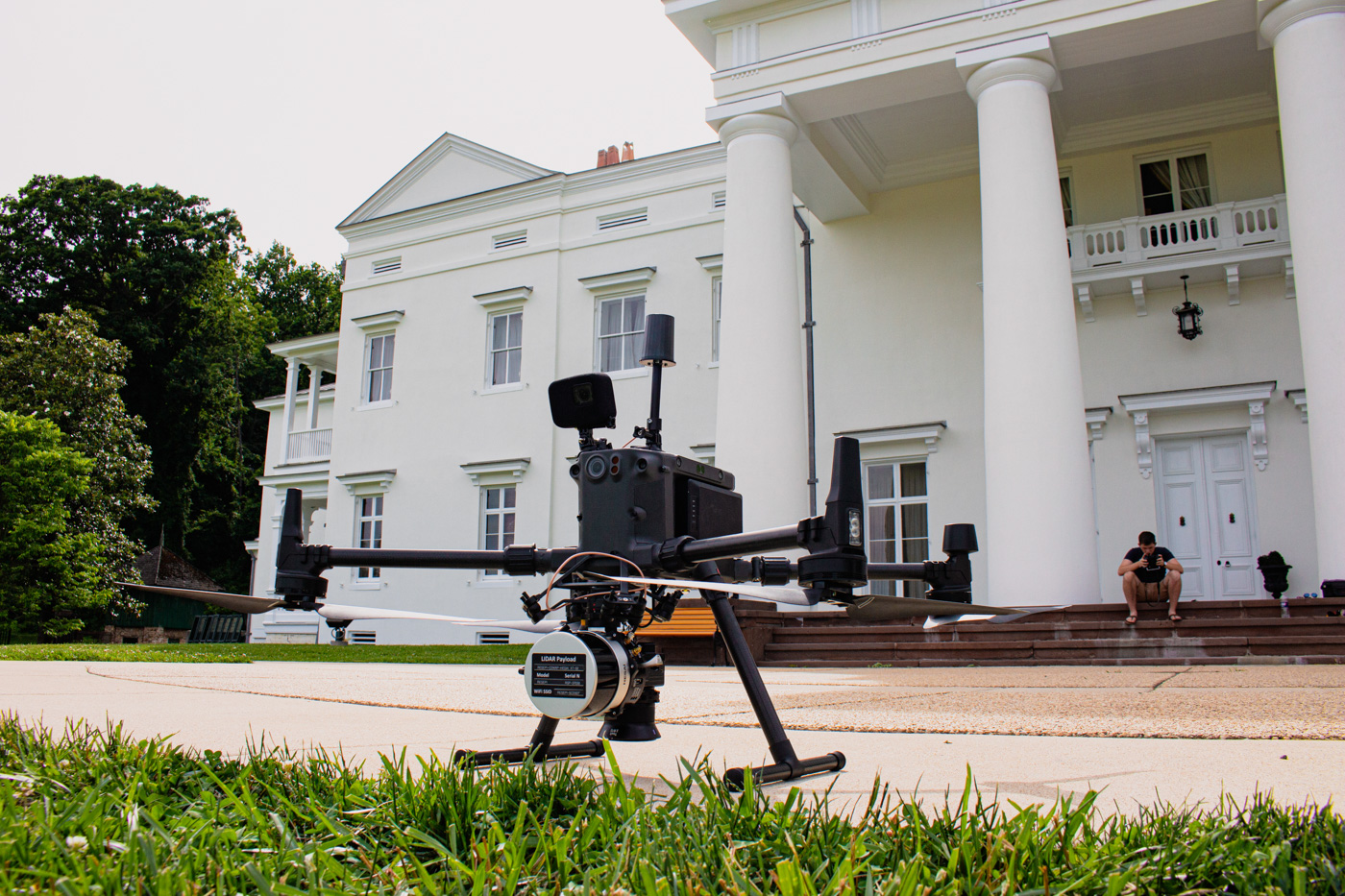
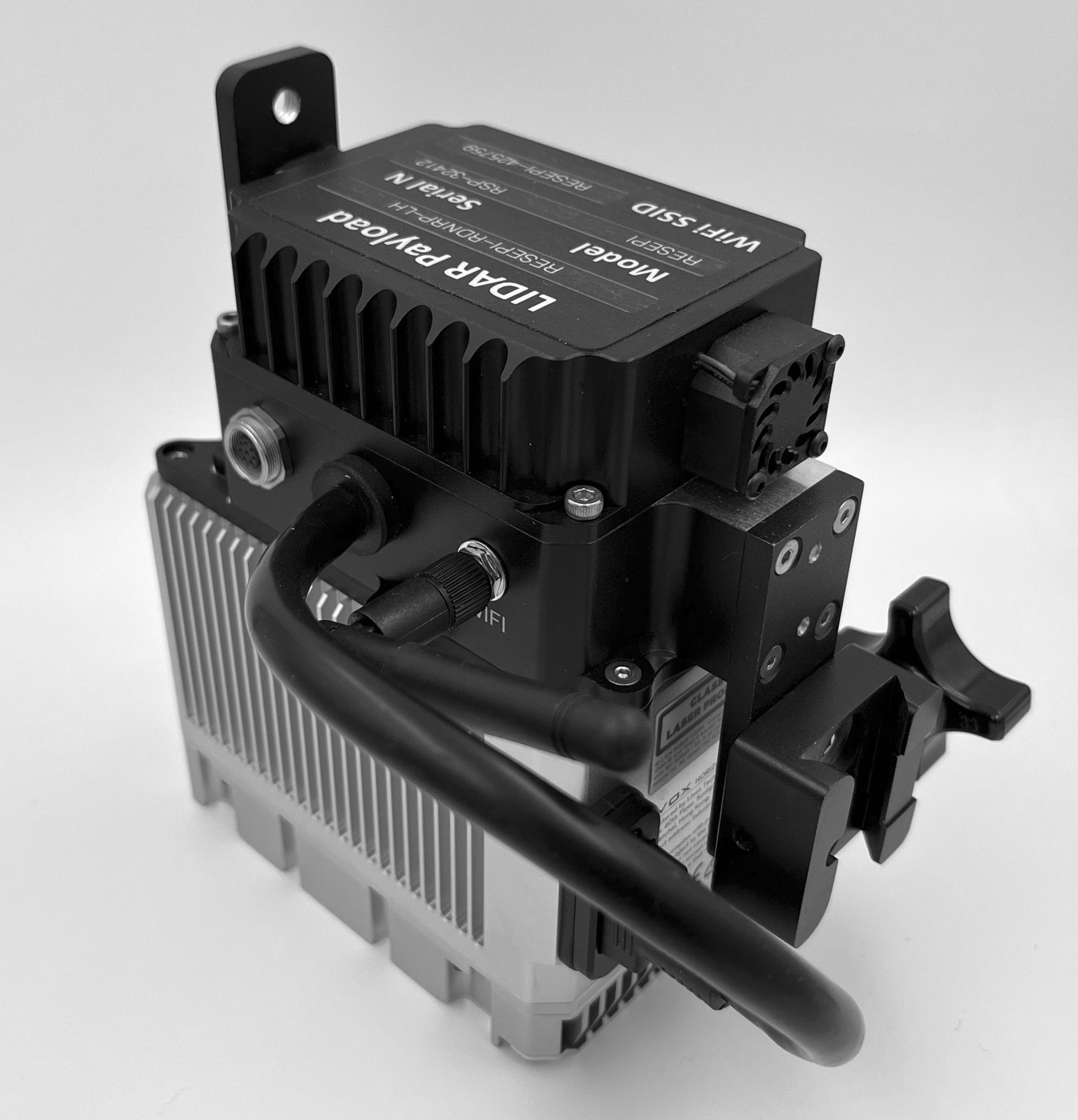
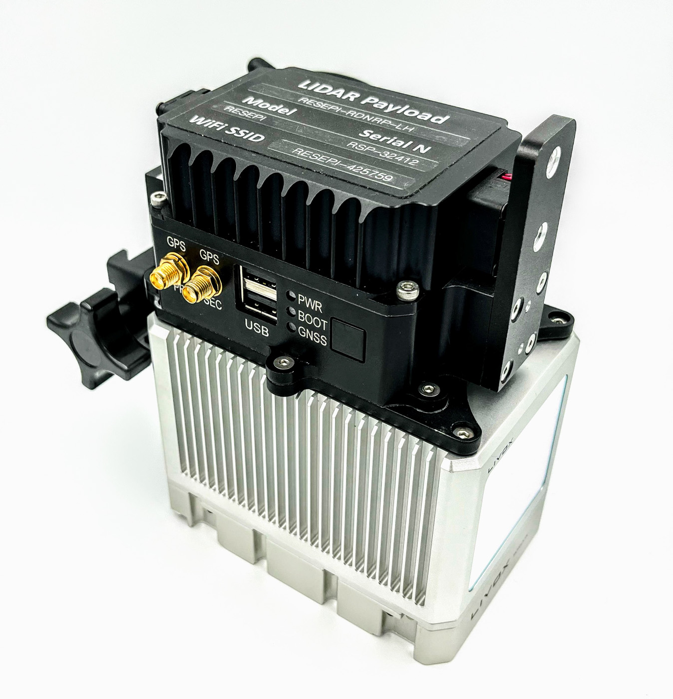
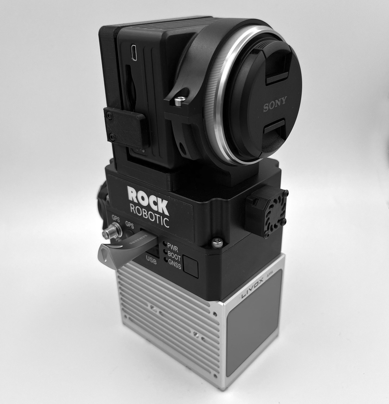
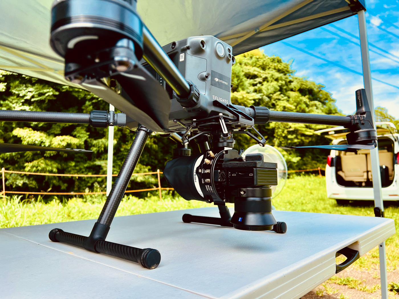
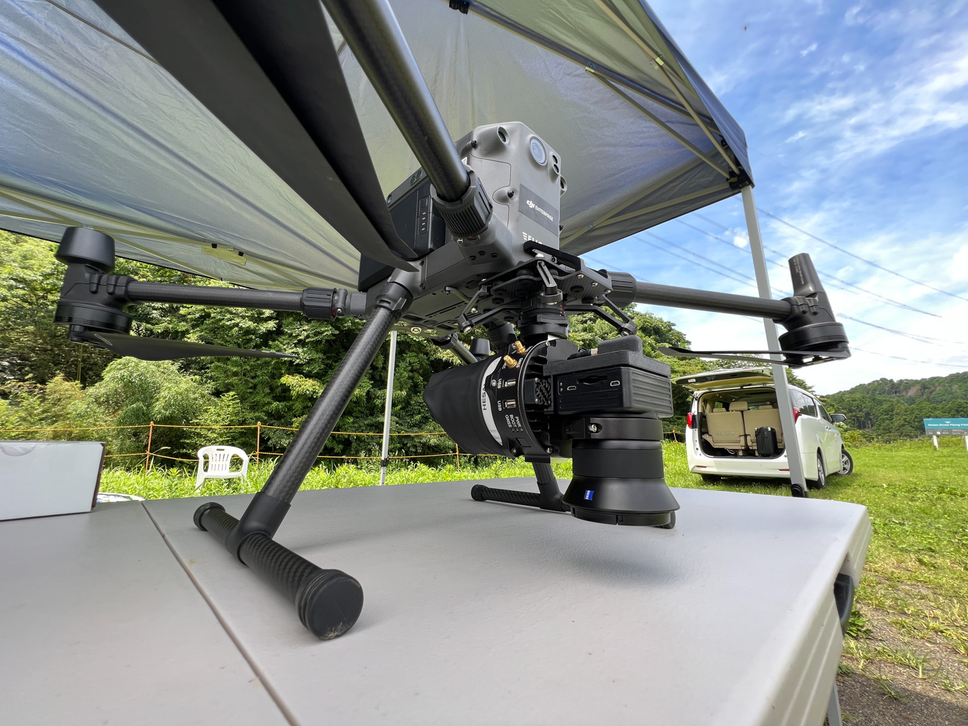
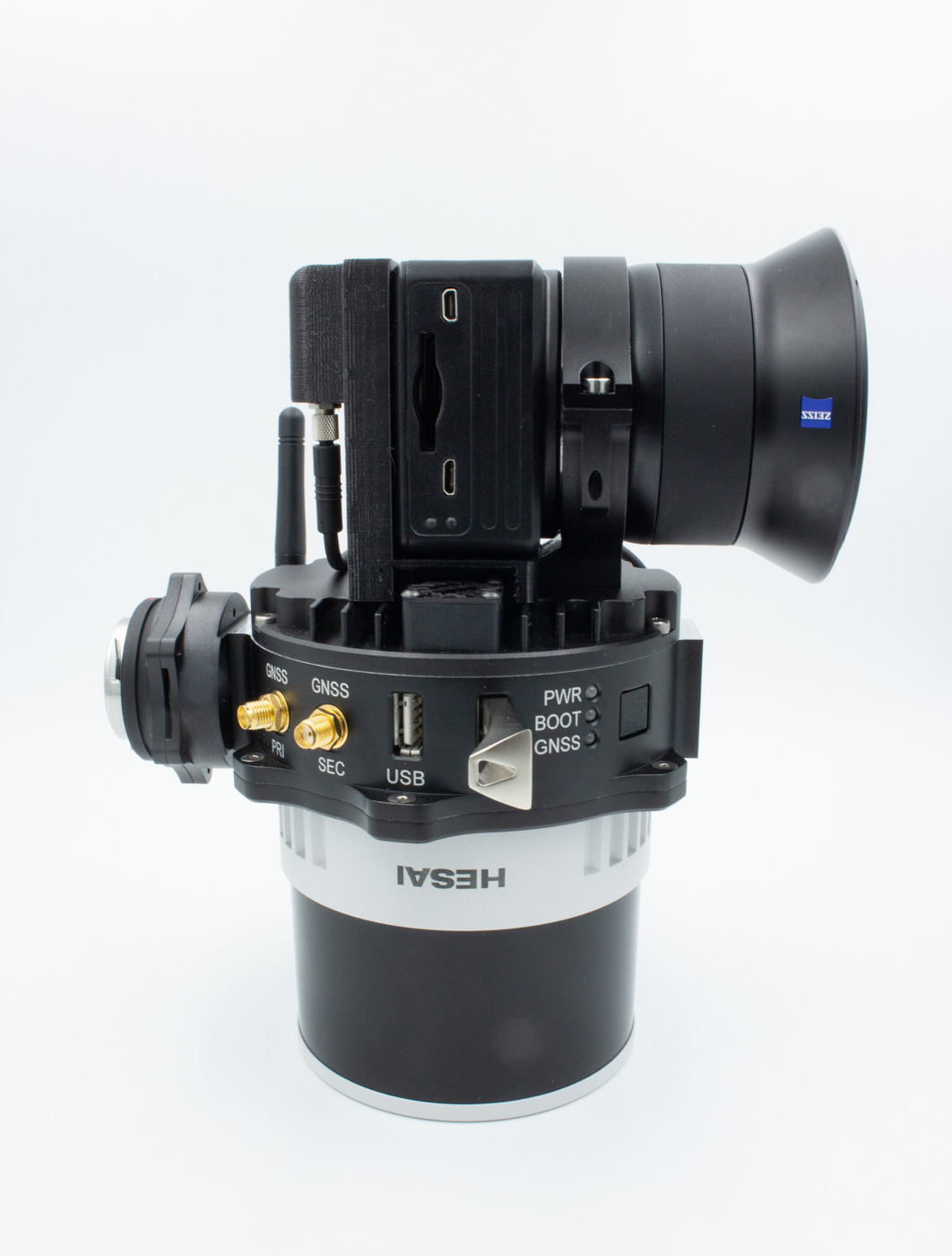
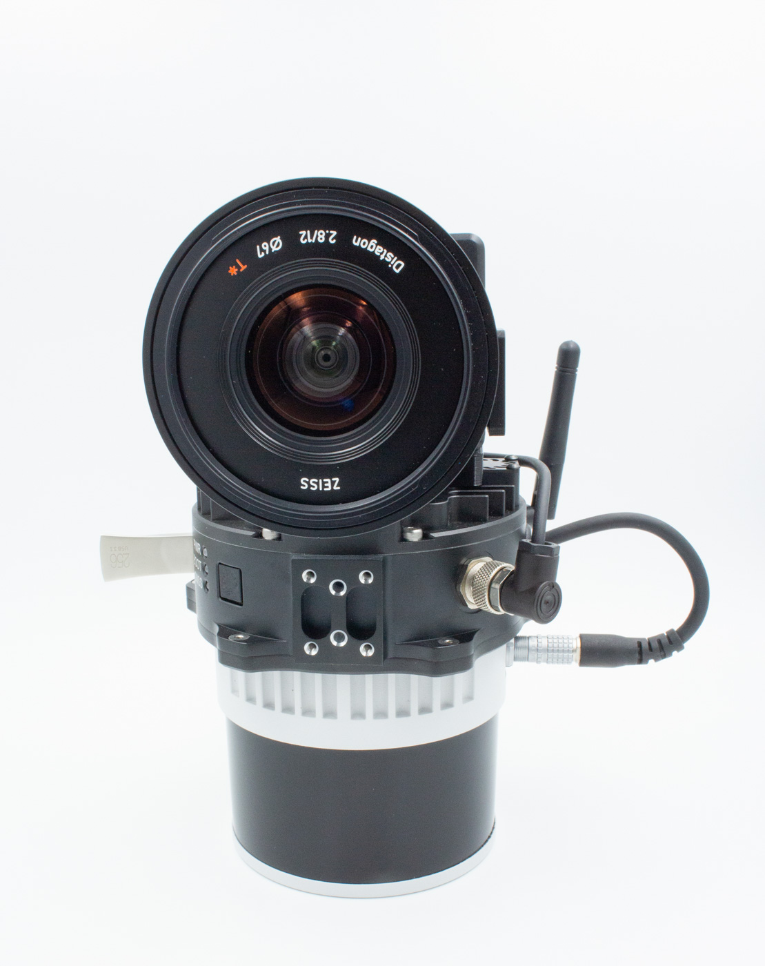
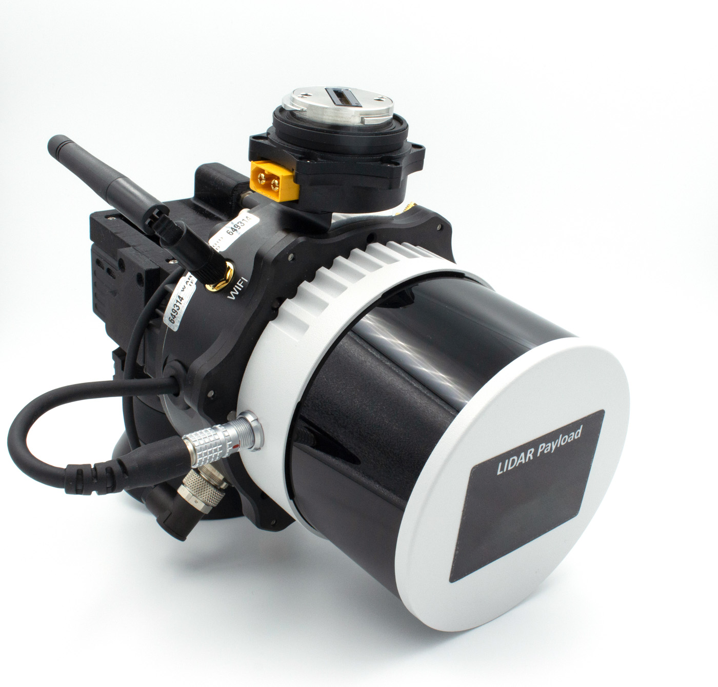
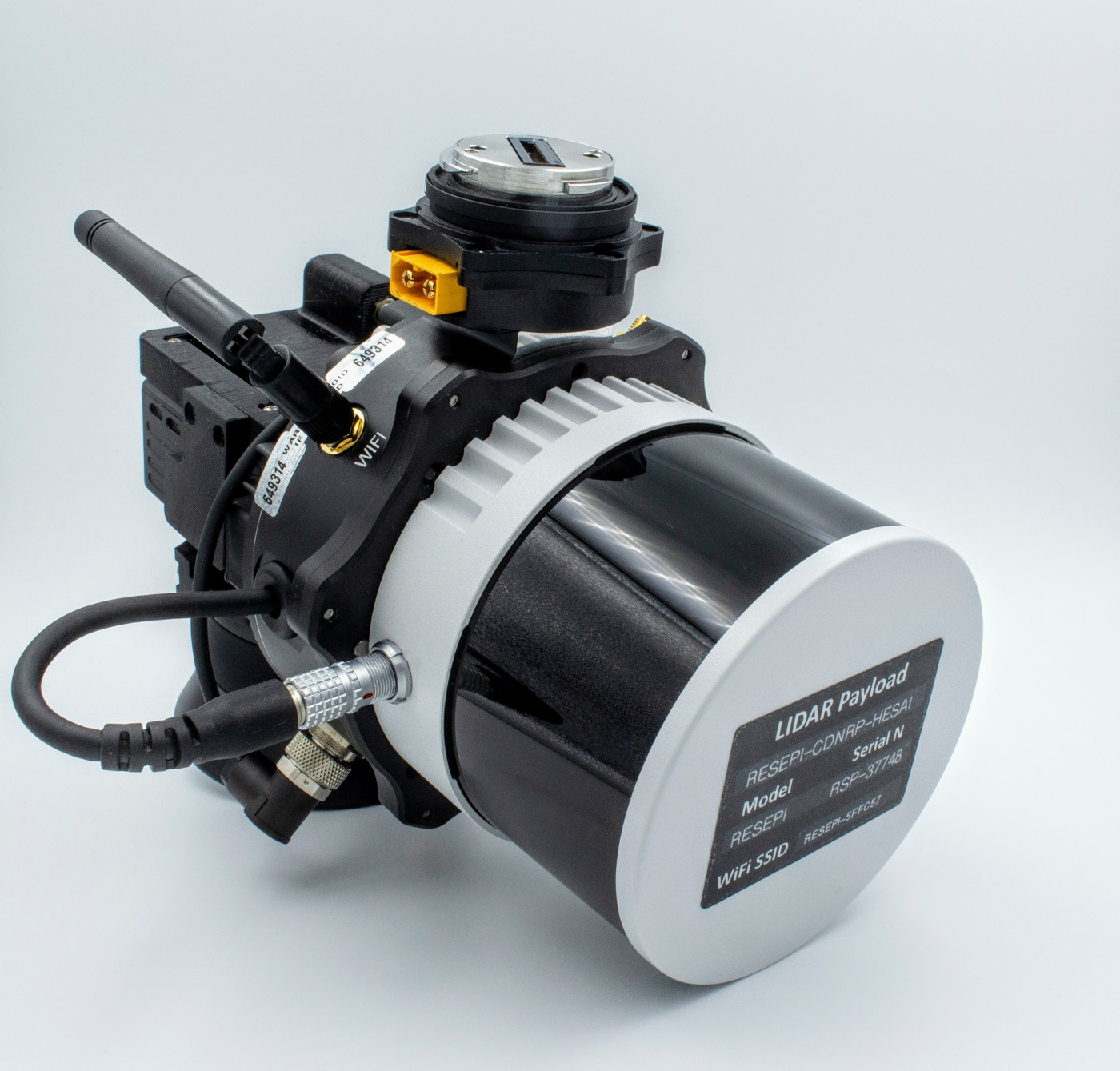
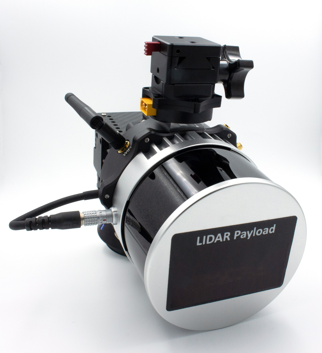
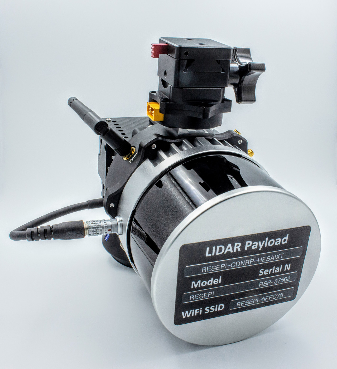
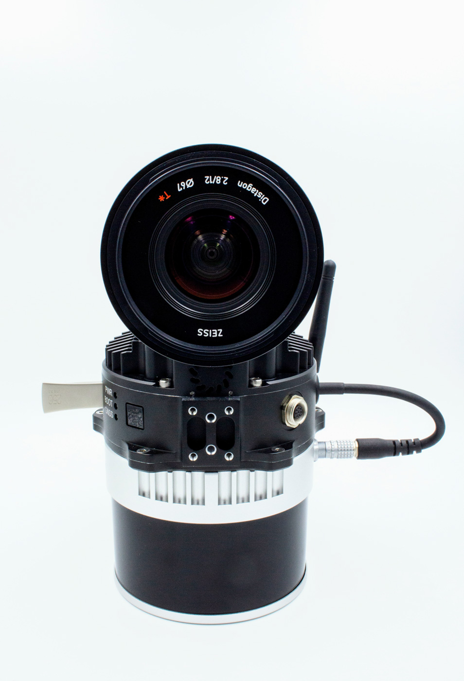
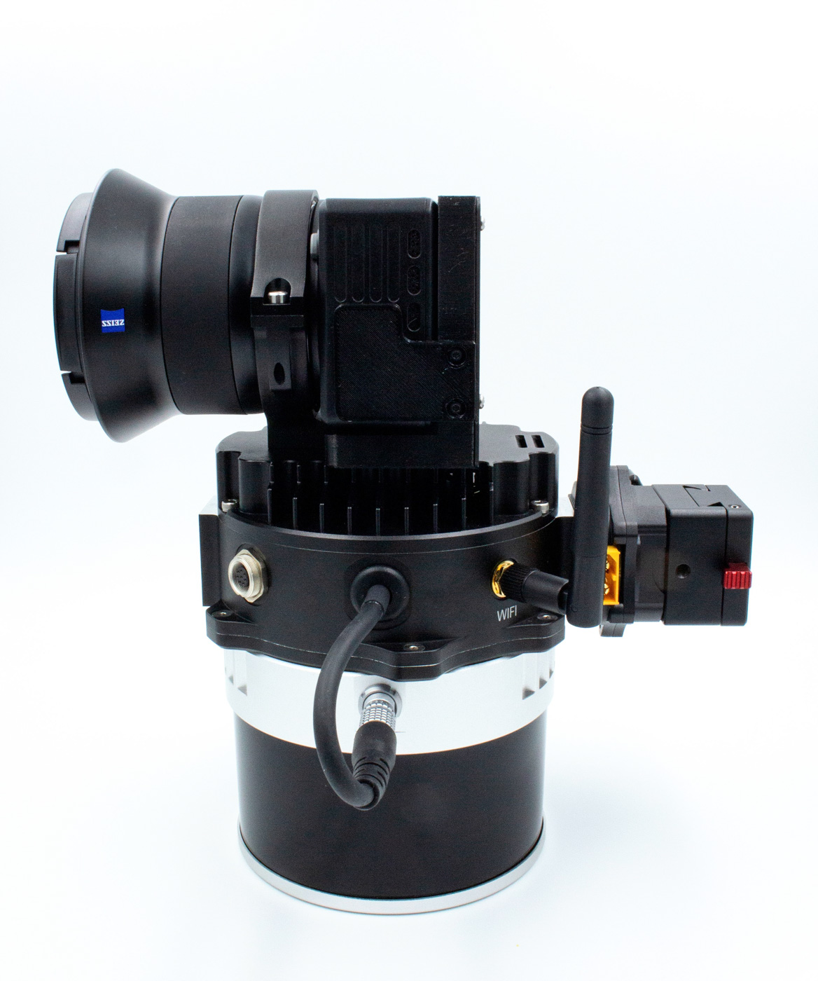
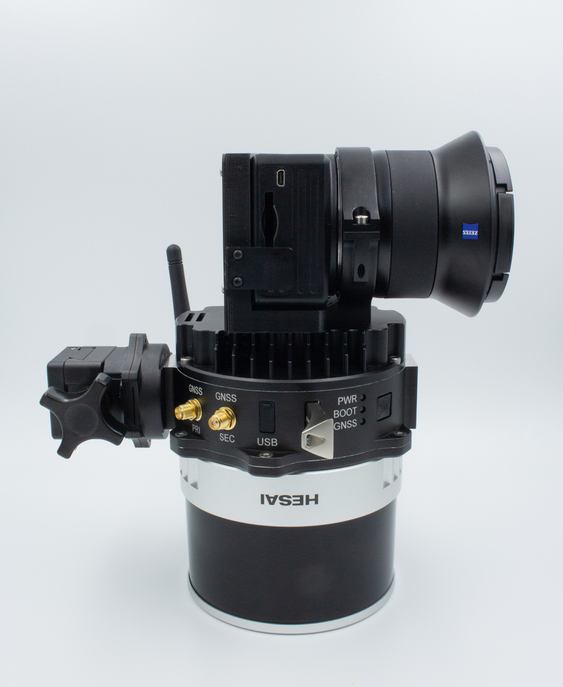
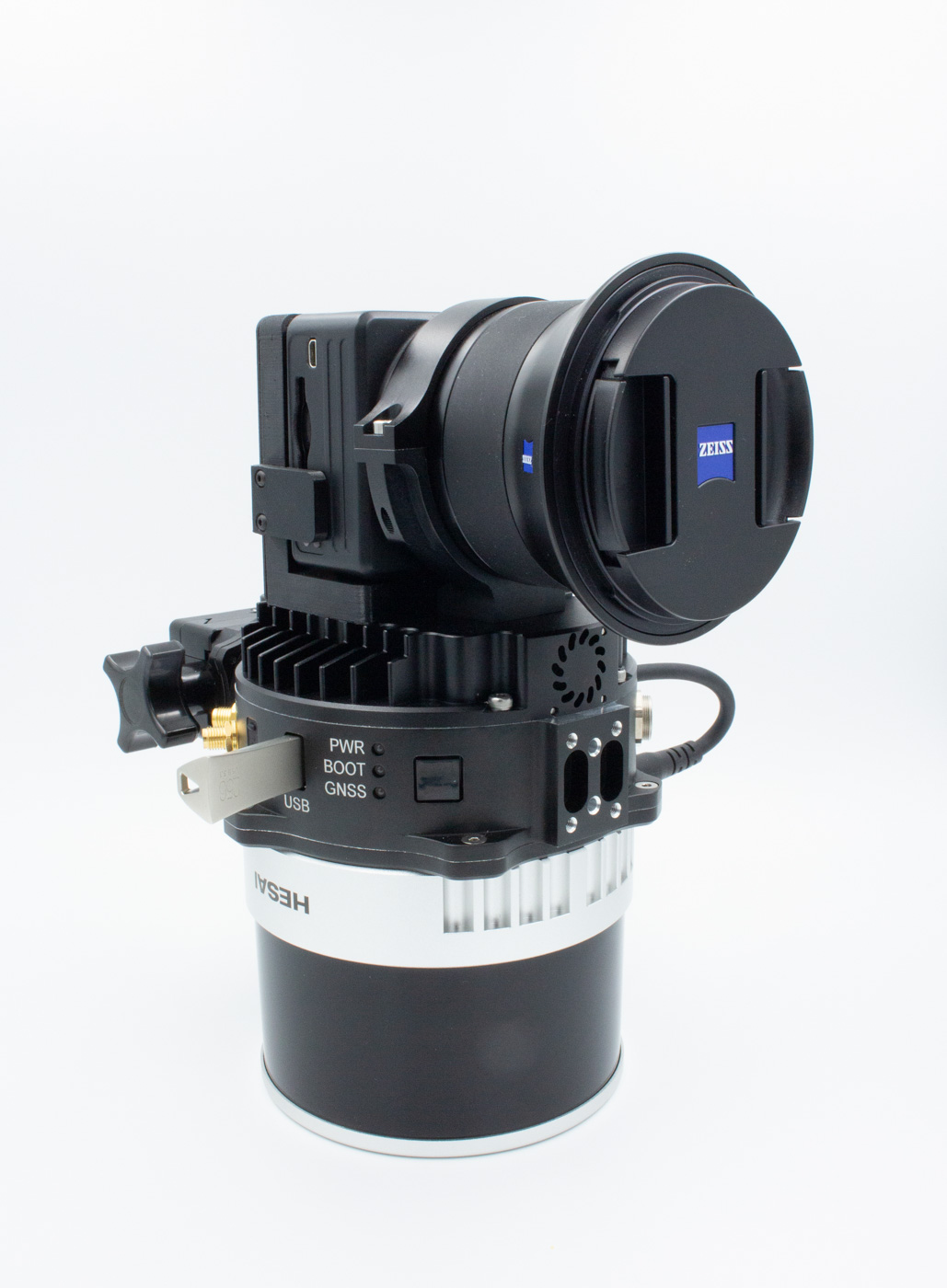
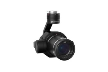
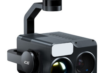
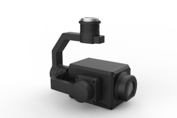
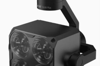
Lidar system som kan skreddersys for kunde med eit utvalg forskjellige lidar sensorer.
Ta kontakt for priser og pakketilbud.