
Beskrivelse
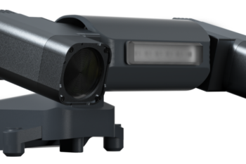
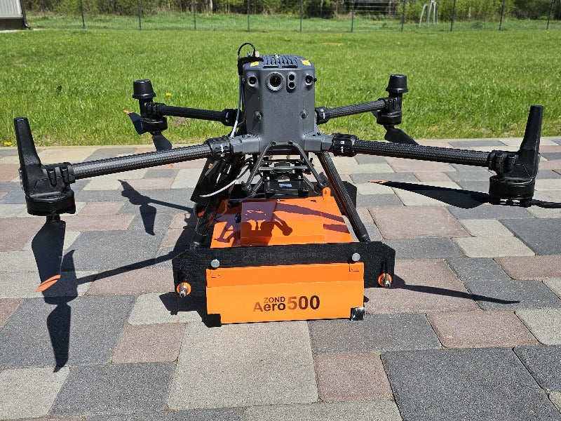
Universal ground penetrating radar system for terrestrial and airborne surveys with real-time sampling (RTS) technology and advanced built-in digital signal processing to provide high quality data with an exceptional signal-to-noise ratio.
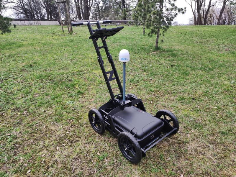
The Zond Aero 500 NG is a truly versatile system that can be used in the most appropriate way for specific survey conditions:
- on a cart – the most standard method for scanning on the streets or in confined spaces
- dragged with a tow rope if the load-bearing capacity of the ground surface is not suitable for a wheeled cart
- on a drone for large open areas without tall obstacles and vegetation
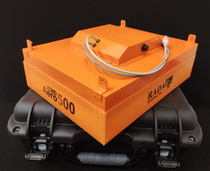
Lightweight GPR system on the market, suitable for medium-sized drones like DJI M350/M300 RTK.
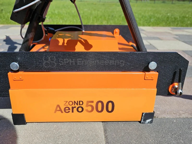
- FCC Code: 2AUQQ-AERO500NG
- IC Code: 25515-AERO500NG
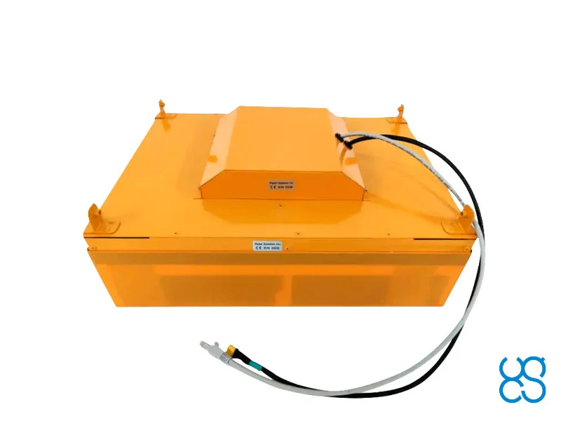
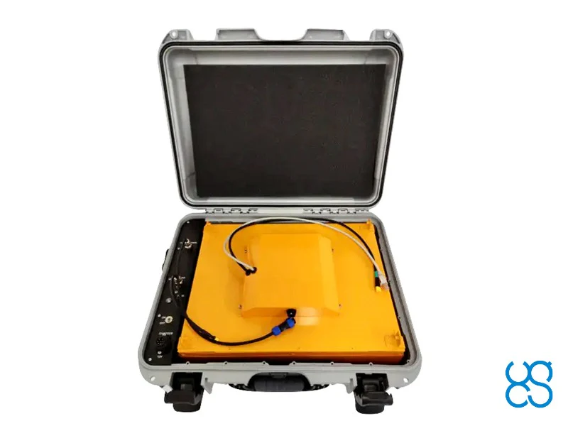
Please note that additional components and software must be ordered to use this GPR with drones. It is recommended to order a complete set. Please ask for the quote.
Applications
Technical Specifications
Type
Central Frequency
Operating Bandwidth
Sampling
Samples per scan
Sample rate
Scan rate
Sample output
Time range per sample
Depth
Data
Environmental
Temperature
Humidity
Ingress Protection
Mechanical
Size (L x W x H)
Weigh
Battery
Airborne variant
Ground surveys
What’s in the Kit
Size (L x W x H)
Weight
HS Code