Beskrivelse

kr 11 640 eks. MVA
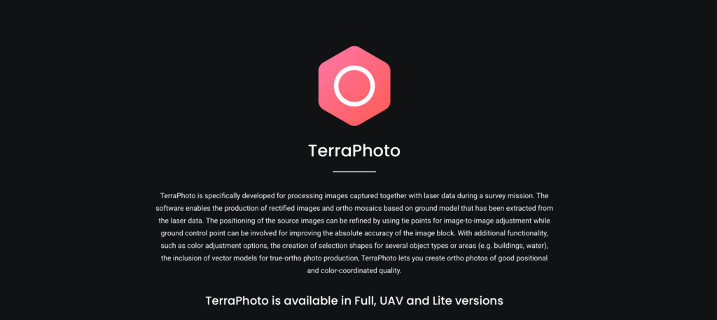
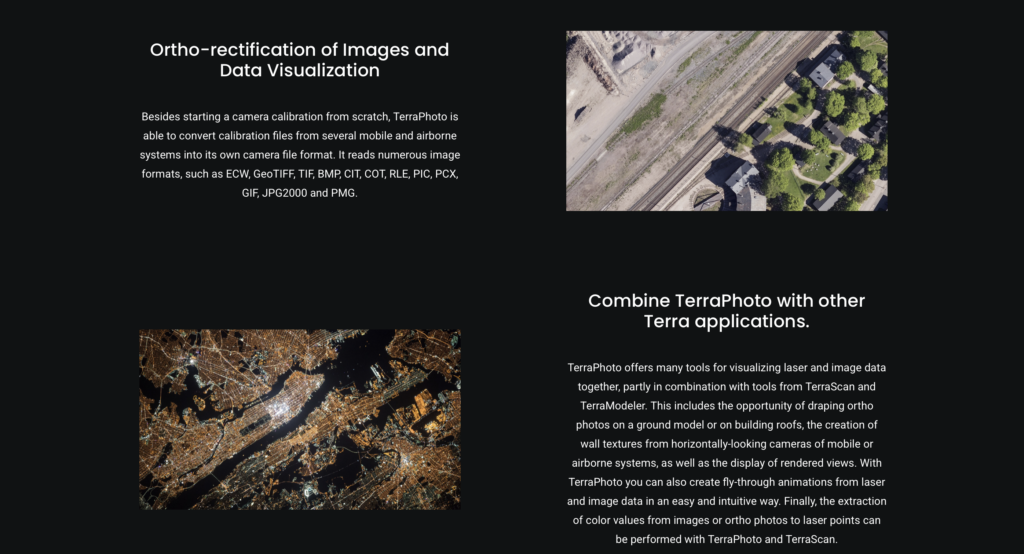
TerraPhoto UAV is a lighter version of TerraPhoto. It is dedicated to users that process only images collected by Unmanned Airborne Vehicles (UAVs, also called Drones). UAV systems produce a relatively small amount of images from a low altitude. The UAV version of TerraPhoto is usable for images collected at an maximum altitude of 500 m above ground.
TerraPhoto UAV does not have any capabilites for processing images of mobile ground-based systems.