Beskrivelse

kr 11 300 eks. MVA
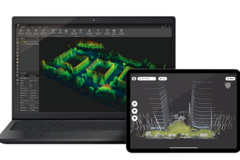
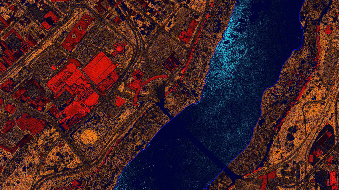
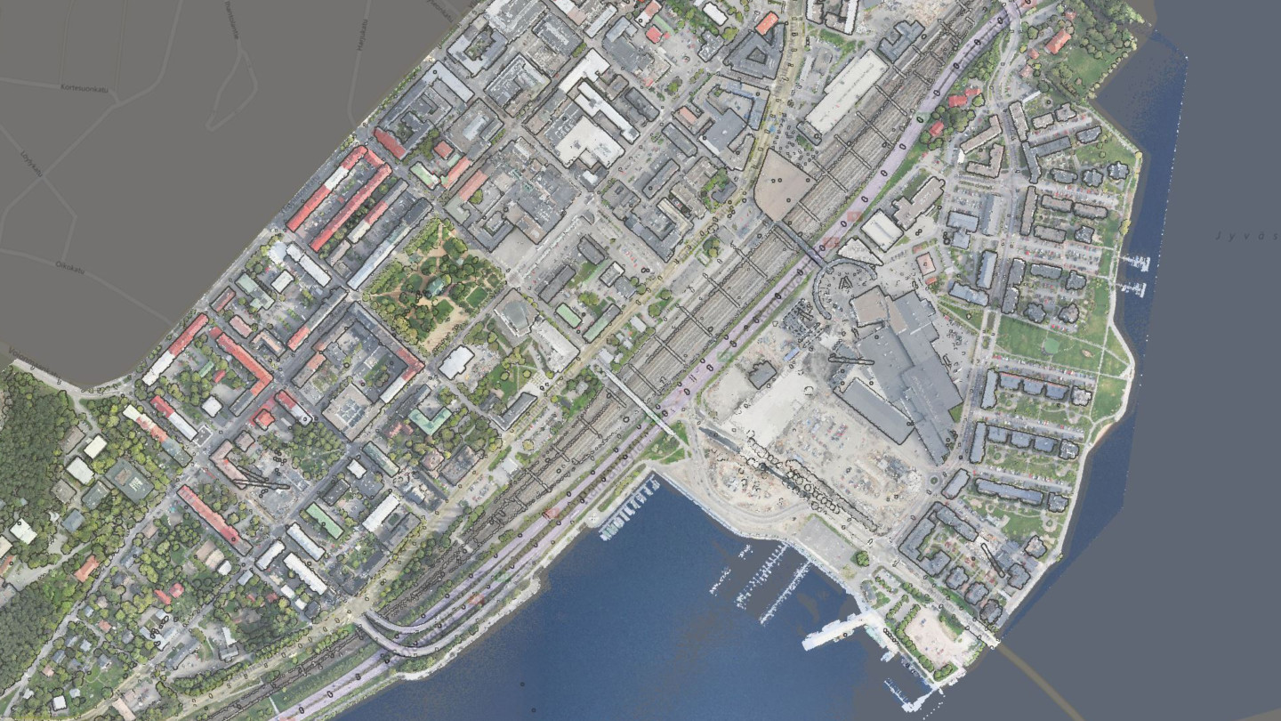
TerraScan UAV is another lighter version of TerraScan. It is dedicated to users that process only point clouds collected by Unmanned Airborne Vehicles (UAVs, also called Drones). UAV systems produce relatively small point clouds from a low altitude. Therefore, the UAV version of TerraScan is recommended to be used for processing point clouds up to a few hundred million of points (depends also on hardware conditions).
TerraScan UAV does not have any project capabilites. Tools and macro actions can be performed on points loaded in memory but not on project level.