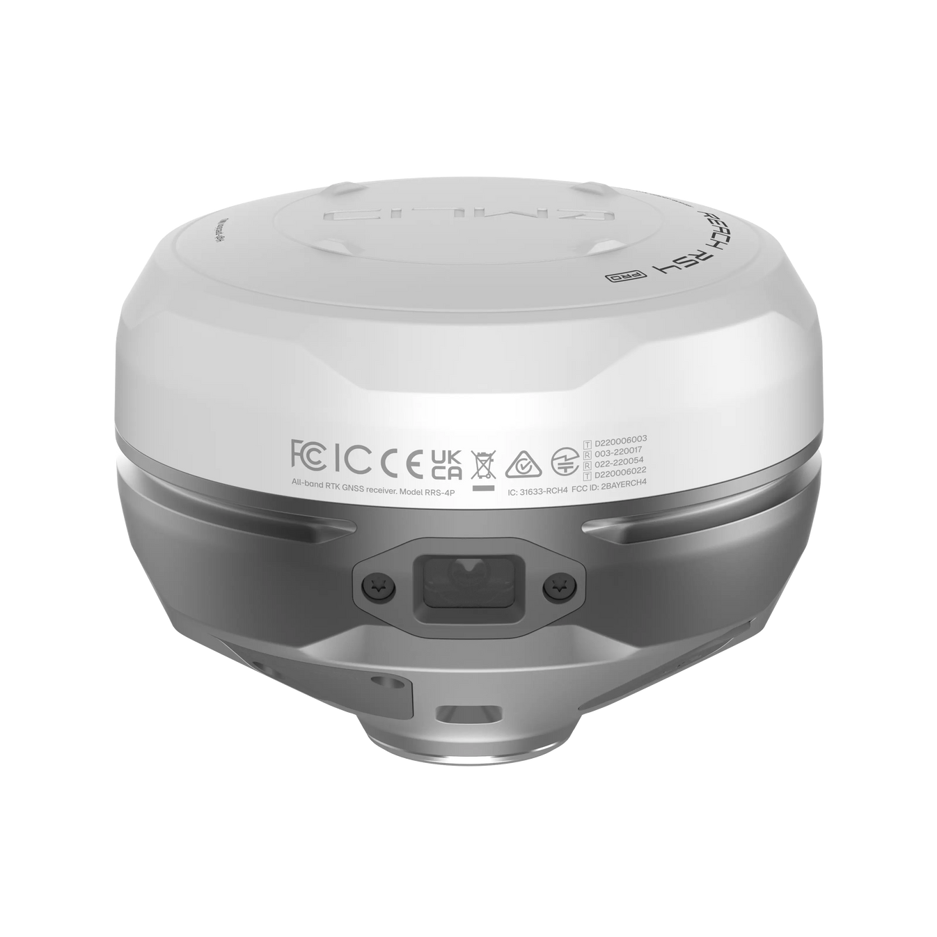
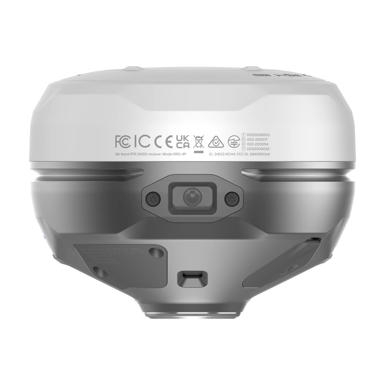
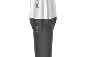
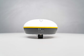
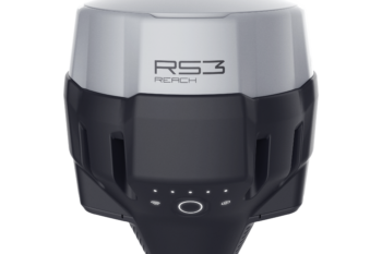
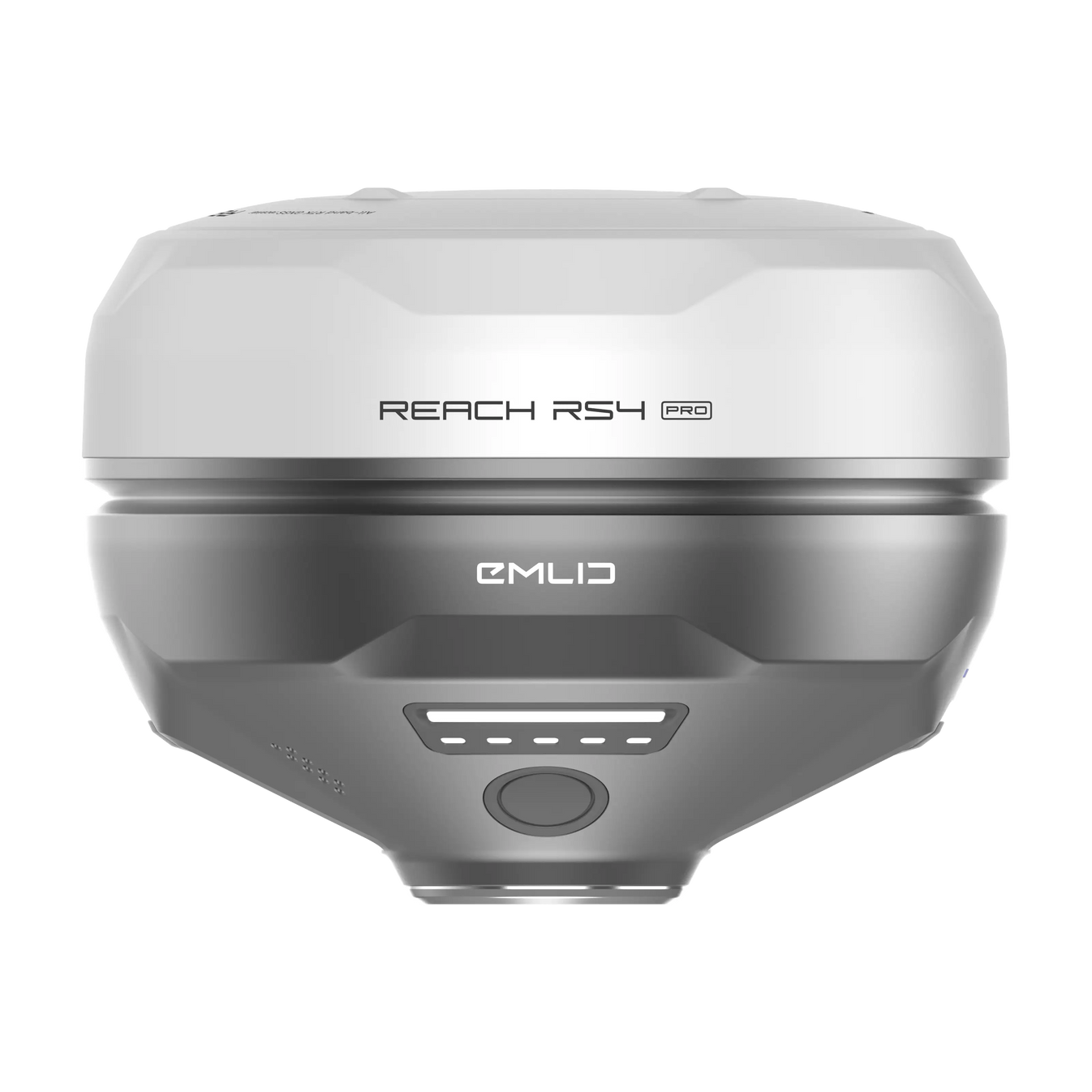
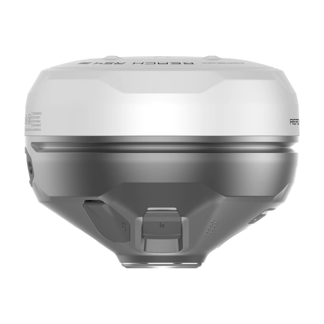
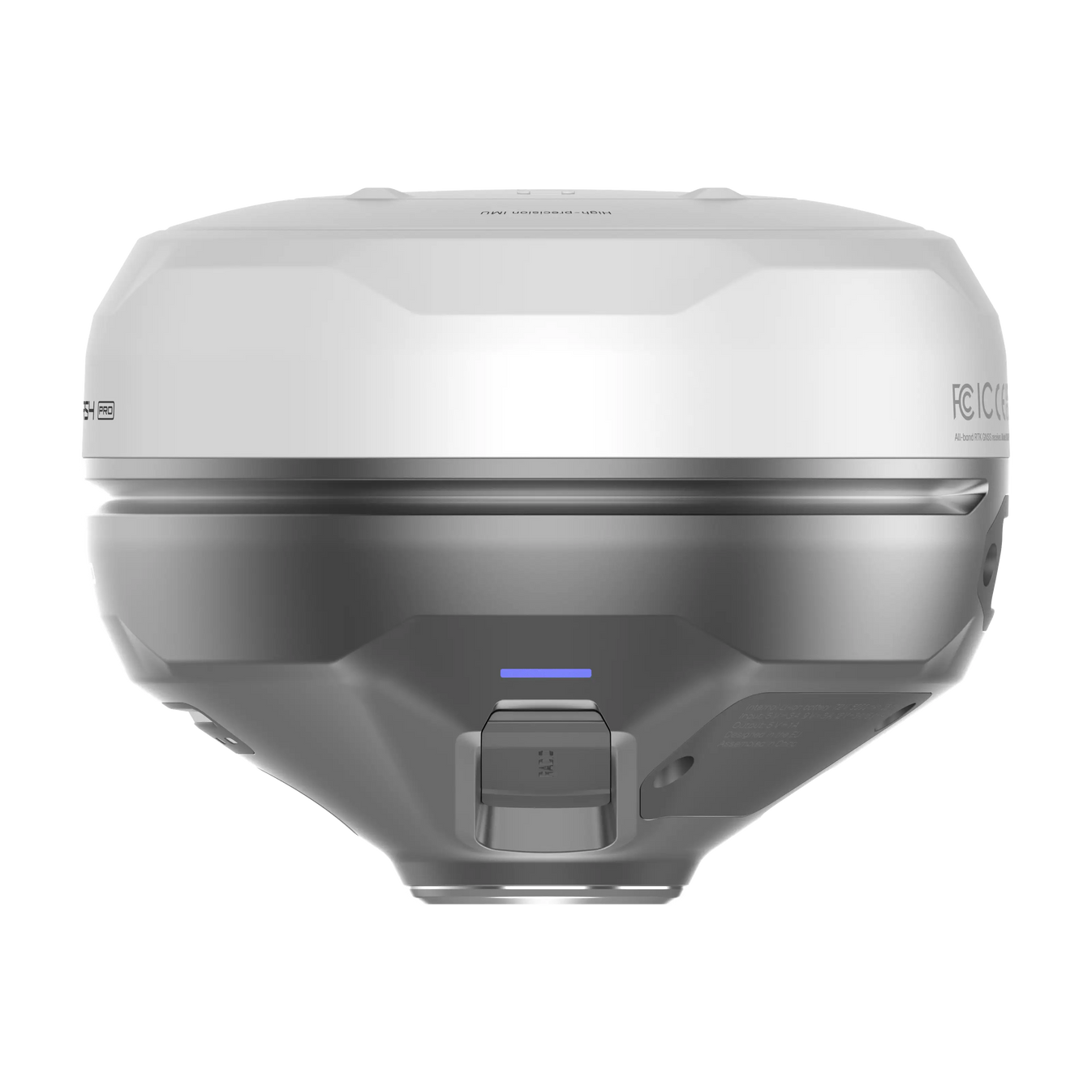
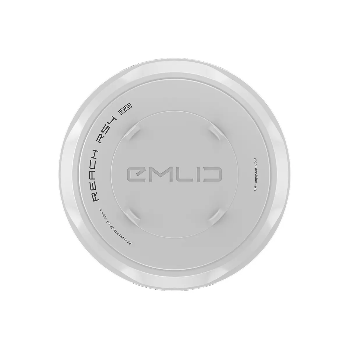
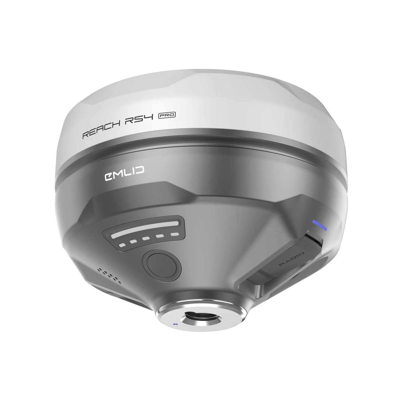
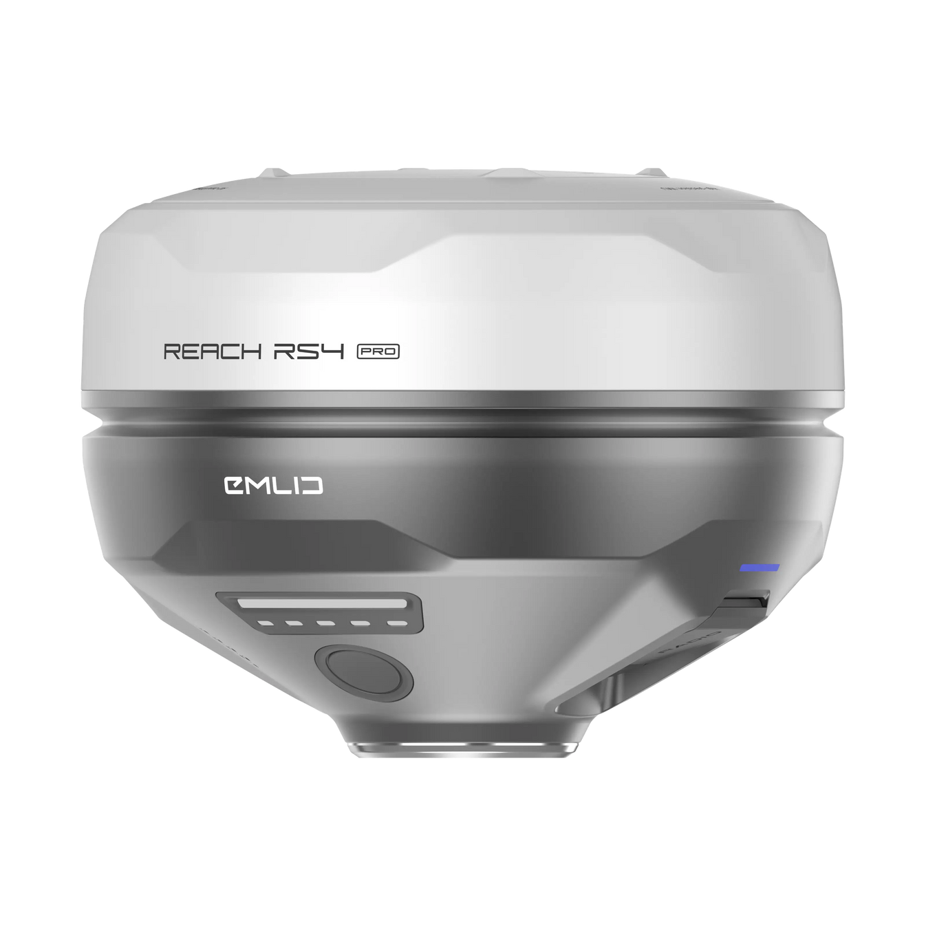
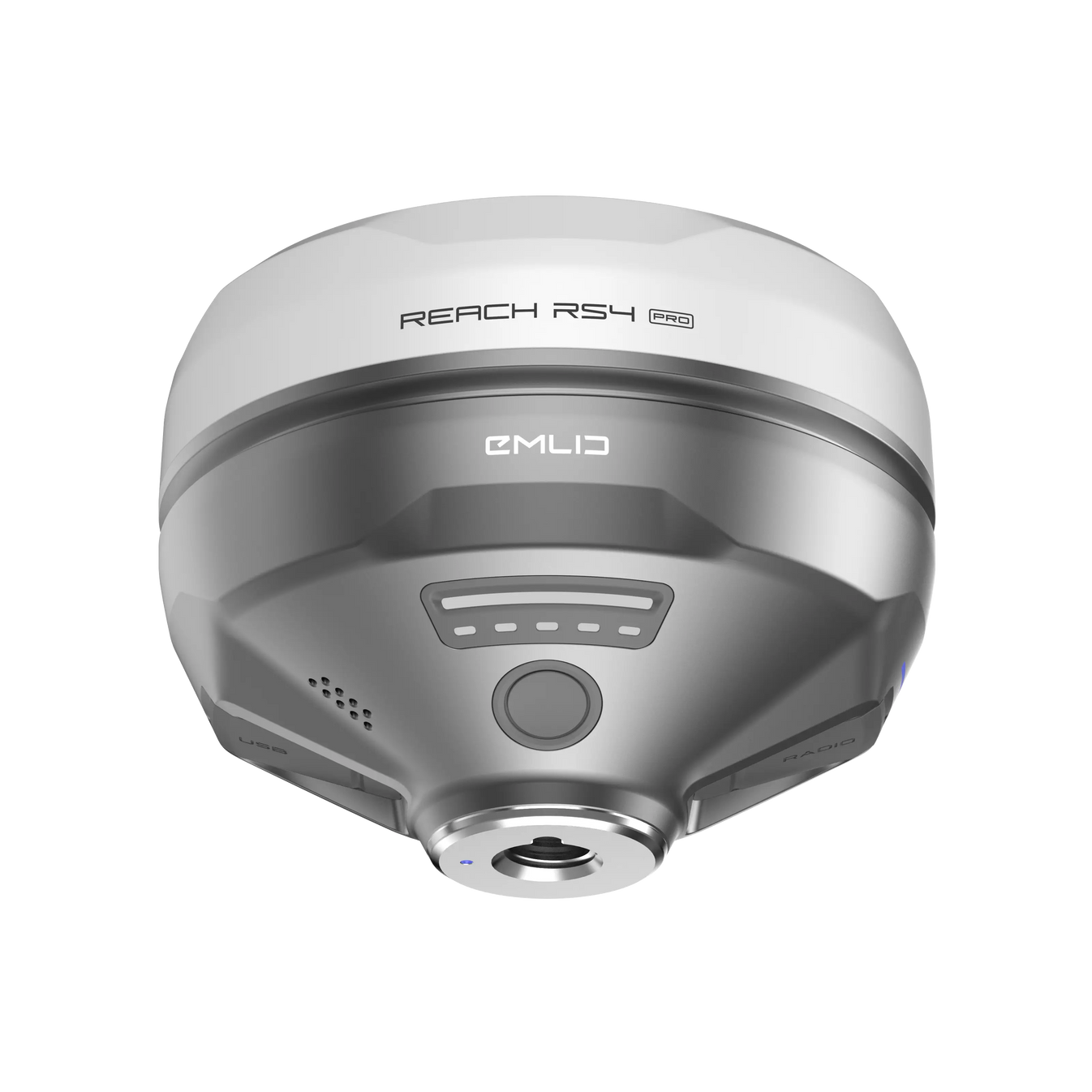
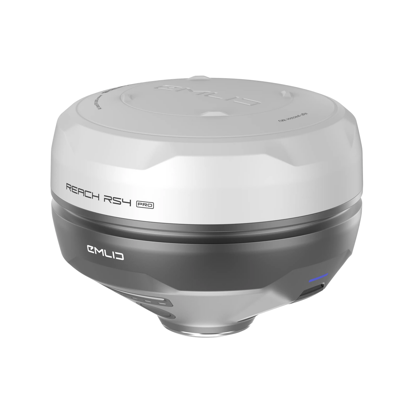
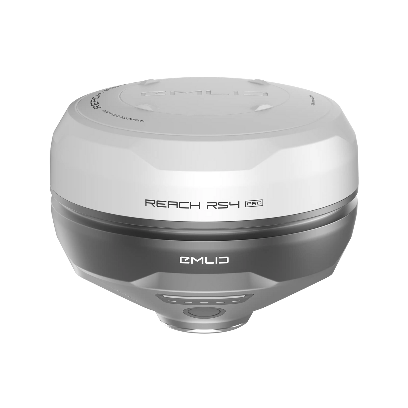
Emlid Reach RS4

kr 46 800 eks. MVA

  • All-band RTK GNSS-mottaker med doble kameraer og tilt-kompensasjon
  • Utsetting på neste nivå med utvidet virkelighet og måling fra bilder
  • Leveres med en mobilapp
 

Beskrivelse

Emlid Reach RS4 Pro


All-band RTK GNSS receiver with dual cameras. Visual stakeout and remote point capture for faster and safer work.


Discover the new way to survey with dual cameras


With two Full HD cameras, the RS4 Pro takes surveying and stakeout further than traditional RTK can.


Stake out faster with AR guidance


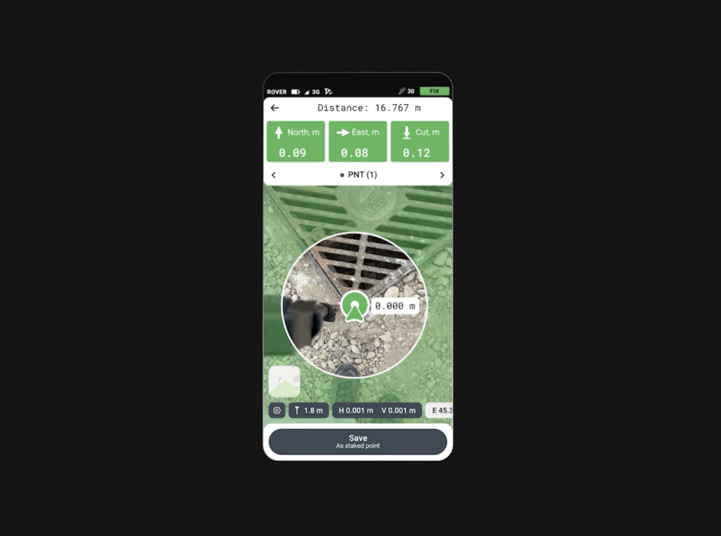
With the RS4 Pro, stakeout becomes visual. Rather than simply following coordinates on a map, your designs are directly overlaid on the real world, clearly showing where to place stakes.

Dynamic navigation /  Auto bullseye View /  Cut & fill indicator /  Quick point switch

Crews can work faster with AR guidance, even on complex construction sites and roadworks.
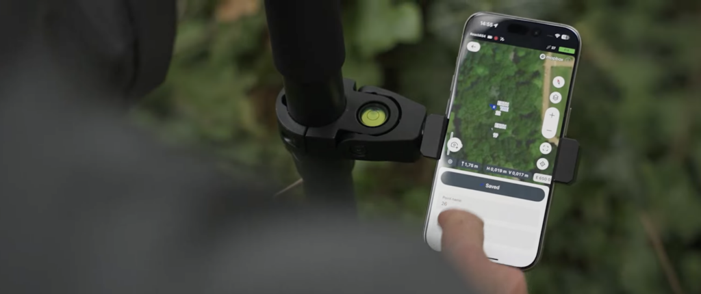
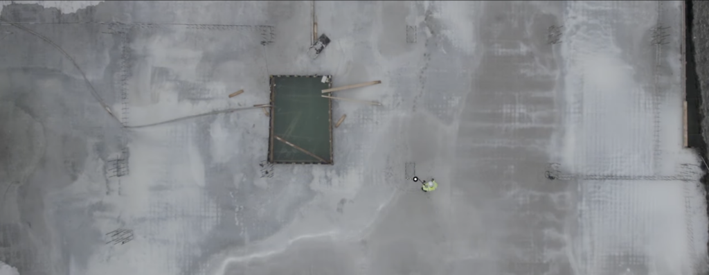
 

Measure from images

Even if you can’t put the pole there, you can still measure it with your RS4 Pro. Use the cameras to measure building facades, areas behind fences, across busy roads and any other inaccessible points.

Save time setting up a total station and avoid hazardous areas.

Across water  /  Behind fences /  Over traffic /  Above pits /  Past hedges /  Around machinery


Unmatched precision, even under canopy


The Reach RS4 Pro delivers centimeter-level accuracy, even in challenging environments like forests or urban canyons. With support for every GNSS constellation and signal frequency, including the L5 and L6 bands, resistant to multipath and interference, the Reach RS4 Pro locks onto 40+ satellites simultaneously using 672 channels.

7mm + 1 ppm in RTK /  672 channels /  GPS, GLONASS, Galileo, BeiDou, QZSS, NavIC /  Full-band support: L1 / L2 / L5 / L6 /  Fix in under 5 seconds


Next-gen tilt compensation
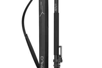
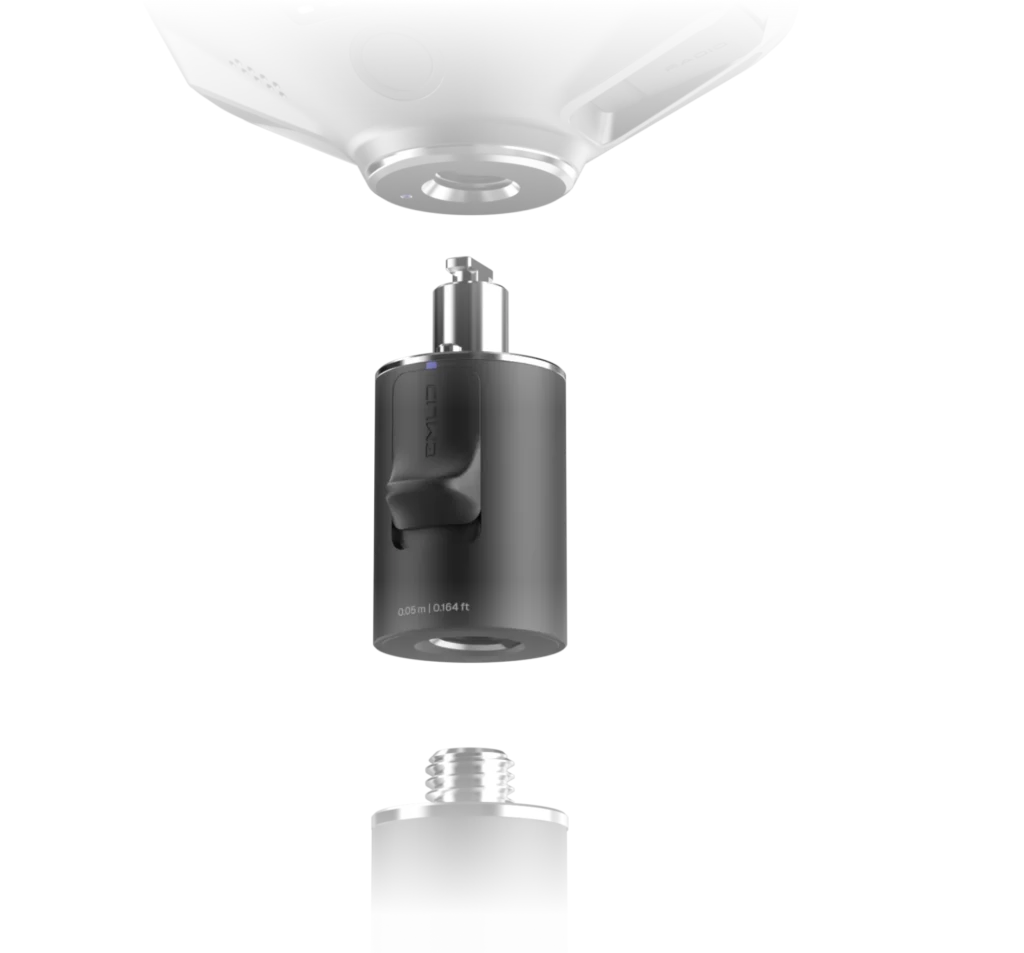


The advanced tilt compensation stays accurate even at steep angles. For example, at a 30° tilt, the Reach RS4 Pro still delivers 18 mm precision. Initialization takes just a few quick movements and remains stable throughout the job—no manual recalibration needed.

Factory-calibrated /  Interference-proof /  Rapid initialization /  Unlimited tilt angles


Quick release mount


The custom-designed quick release mount ensures the receiver is locked firmly to your survey pole, eliminating backlash. Even the smallest wobble can affect tilt-based measurements at steeper angles. This mount solves the issue with a fast and rock-solid connection for reliable data accuracy.


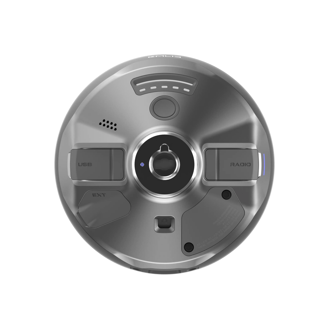
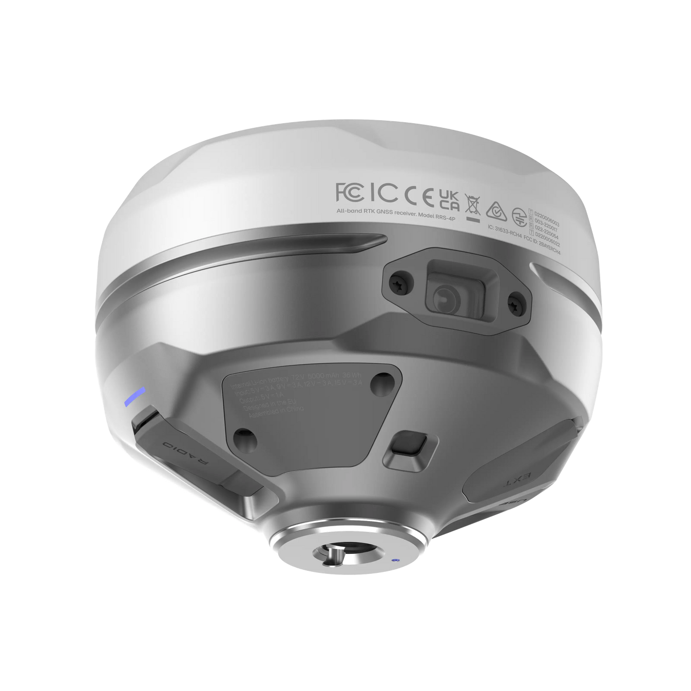
Base and rover connectivity


NTRIP

Connect to VRS or single-base CORS networks using RTCM3 format for precise RTK corrections. You can also transmit corrections from your own base using Emlid NTRIP Caster


Dual-band radio

UHF 450 MHz:

Transmit and receive /  Up to 2W /  Compatible with Reach and 3rd-party receivers with TRIMTALK 450S support

LoRa 915 MHz:

Transmit and receive /  Up to 1W /  Compatible with Reach receivers


Engineered for the harshest environments


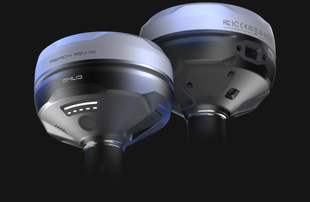
Magnesium alloy body

Crafted from the same material used in aerospace and high-end tech, the Reach RS4 Pro magnesium body offers exceptional strength without the extra weight. It’s rugged enough for demanding job sites—and light enough for all-day use.

16 hours on one charge

No need to stop mid-job to recharge. The Reach RS4 Pro runs up to 16 hours on a single charge. Power up via USB-C or plug in a power bank on the go—maximum uptime, minimum hassle.

Waterproof

From rainstorms to dusty construction sites, the Reach RS4 Pro is fully ready. With an IP68 rating, it’s completely sealed against water and debris.

-40 to +65 ºС

From cold to heat, the Reach RS4 Pro performs without compromise. Engineered to operate flawlessly between -40°C and +65°C, it’s ready for work anywhere.


Software to drive your entire workflow


The Reach RS4 Pro is powered by Emlid Flow—a complete field and cloud solution for iOS and Android. From initial setup to final verification, Emlid Flow keeps your entire team connected, your data synchronized, and your project on track.


Keep your team in sync

Invite team members, assign roles, and share projects
Monitor field progress from the office and sync data instantly with the field
Unified workflows for all team members, consistent interface, no extra training needed


Handle all types of fieldwork

Topographic surveys: capture precise elevation and terrain data
Stakeout & layout: mark points, lines, and site boundaries
Line & road surveys – stake centerlines and offsets with precision
Cut & fill calculations: measure stockpiles and earthworks on-site
As-builts: confirm construction accuracy against design plans


Specification


Mechanical

  • Dimensions: 128.6 x 128.6 x 99.3 mm
  • Weight: 920 g
  • Operating temperature: -40 to +65 °C
  • Ingress protection: IP68

Electrical

  • Autonomy: 16 hrs as RTK rover with tilt
  • Battery: Li-Ion 5000 mAh, 7.2 V 36 Wh
  • Charging: USB Type-C (PD): 5V—3A, 9V—3A, 12V—3A, 15V—3A

Positioning

  • Static: H: 4 mm + 0.5 ppm, V: 8 mm + 1 ppm
  • PPK: H: 5 mm + 0.5 ppm, V: 10 mm + 1 ppm
  • RTK: H: 7 mm + 1 ppm, V: 14 mm + 1 ppm
  • Tilt compensation: RTK + 2 mm + 0.3 mm/°
  • Convergence time: ~5 s typically

Connectivity

  • LoRa radio up to 1W
    • Frequency range: 868/915 MHz
    • Power: 0.1 W
    • Distance: Up to 8 km
  • UHF radio up to 2W
    • Frequency range: 410–470 MHz
    • Protocols: TRIMTALK 450S
    • Modulation type: GMSK
  • LTE modem
    • Regions: Global
    • Bands:
      • FDD-LTE: 1, 2, 3, 4, 5, 7, 8, 12, 13, 18, 19, 20, 26, 28
      • TD-LTE: 38, 39, 40, 41
      • UMTS (UHPS/FDD): 1, 2, 5, 8, Quad-band, 850/1900, 900/1800 MHz
      • SIM card: Nano-SIM
  • Wi-Fi: 802.11a/b/g/n
  • Bluetooth: 5.1 (BR/EDR + LE)
  • Ports: RS-232, USB Type-C

Data

  • Corrections: NTRIP, RTCM3
  • Position output: NMEA, LLH/XYZ
  • Data logging: RINEX, NMEA, LLH/XYZ, UBX
  • Internal storage: 16 GB

Imaging

  • Image sensors: 1/2.6 in, CMOS, global shutter, Full HD
  • Field of view:
    • Front camera: 64.6°, V: 42.8°
    • Bottom cameraH: H: 63°, V: 42°
  • Video frame rate: 25 fps

GNSS

  • Signal tracked:
    • GPS: L1C/A, L2C, L5
    • GLONASS: L1OF, L2OF
    • Galileo: E1-B/C, E5a, E6
    • BeiDou: B1I, B1C, B2a, B3I
    • QZSS: L1C/A, L1C/B11, L2C, L5
    • NavIC: L1-SPS Data, L5-SPS
  • Number of channels: 672
  • Update rates: up to 10 Hz