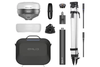

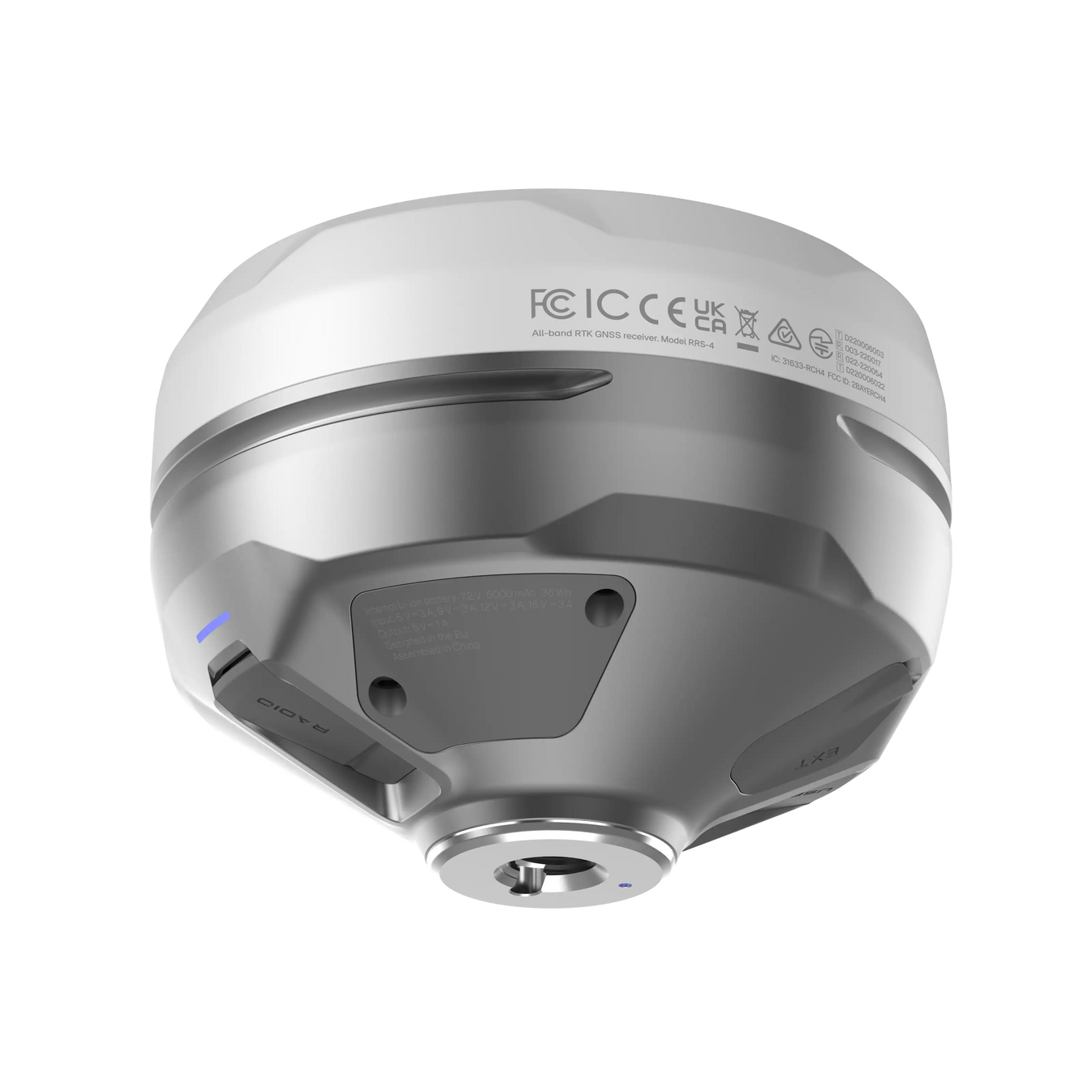
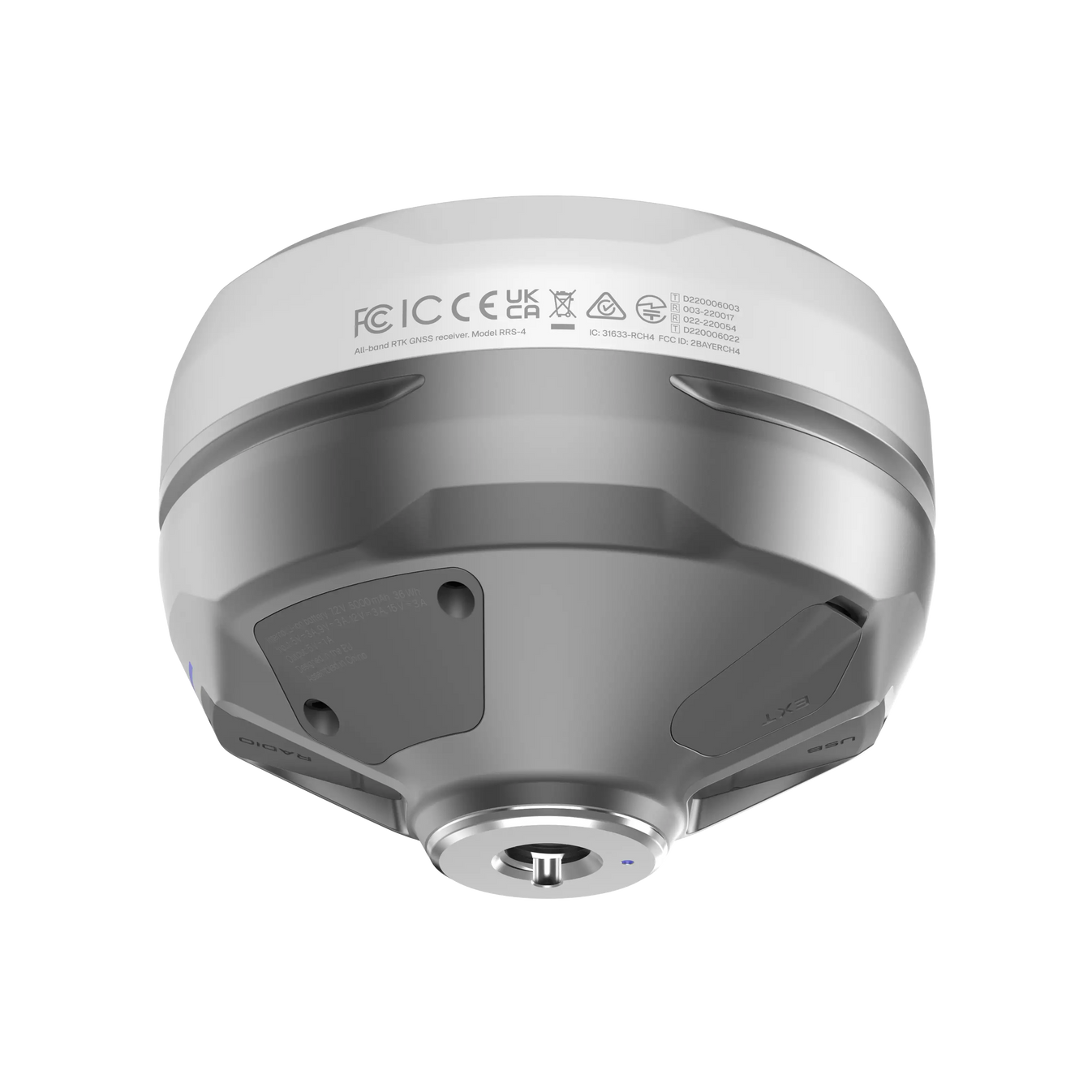
Beskrivelse
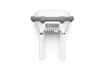
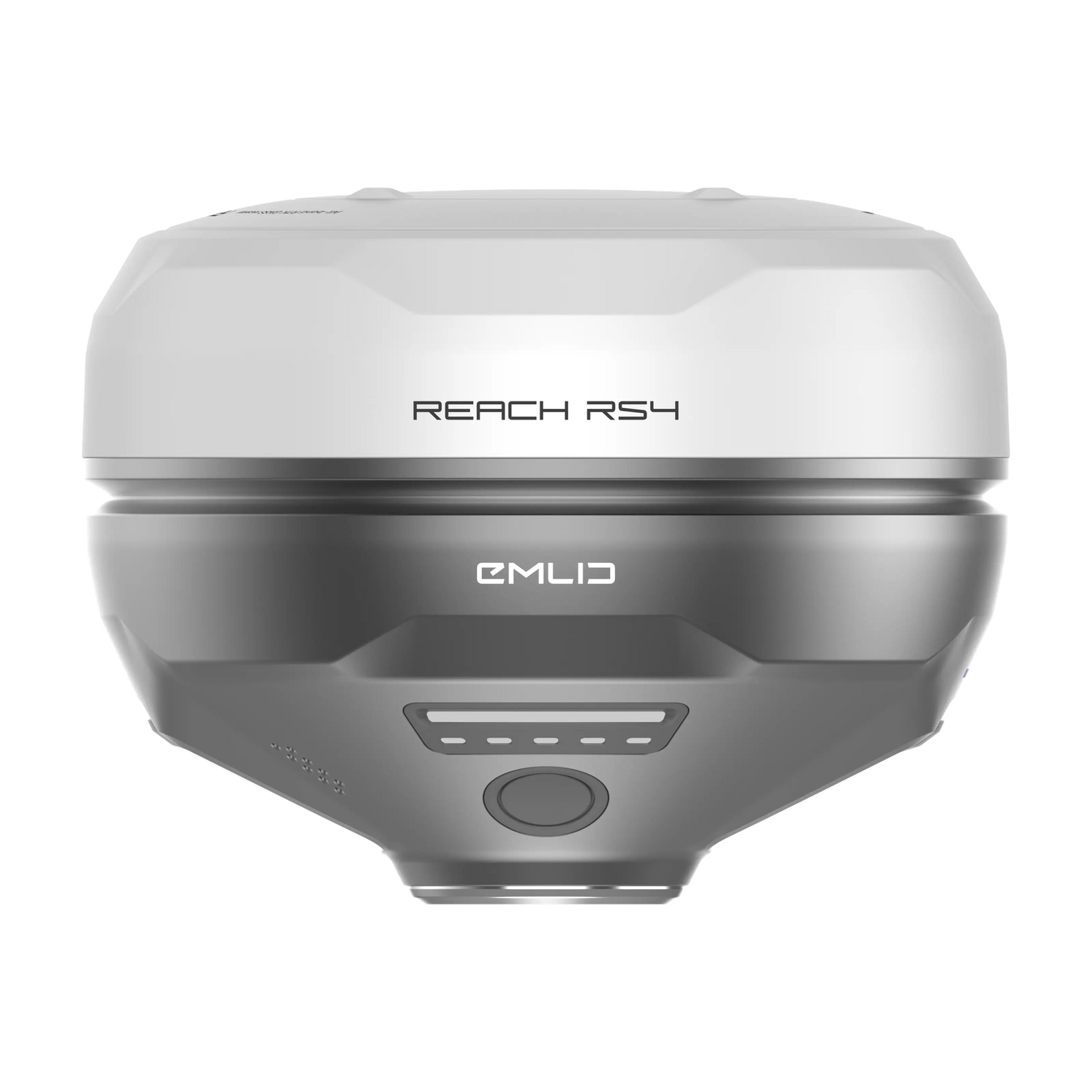
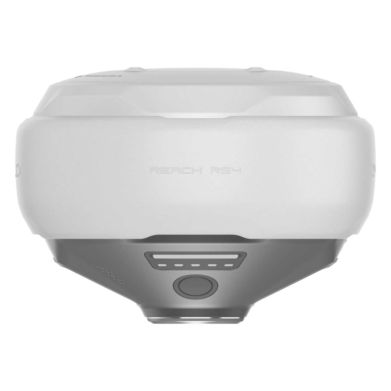
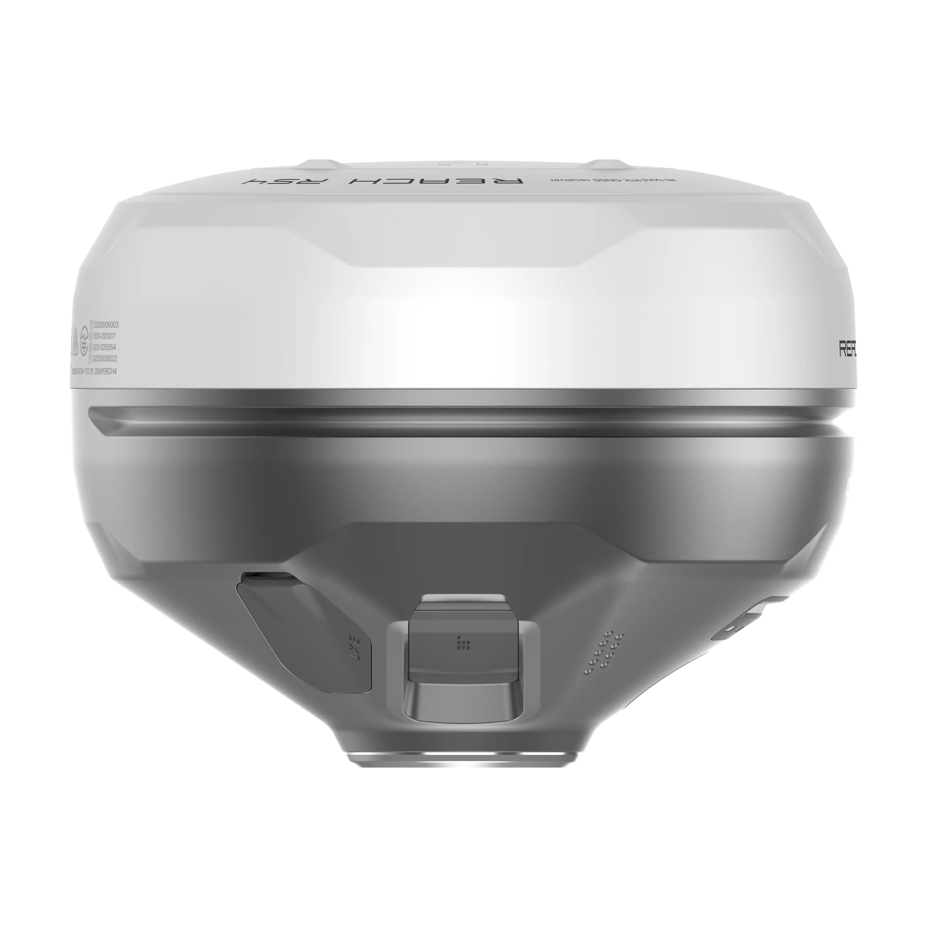
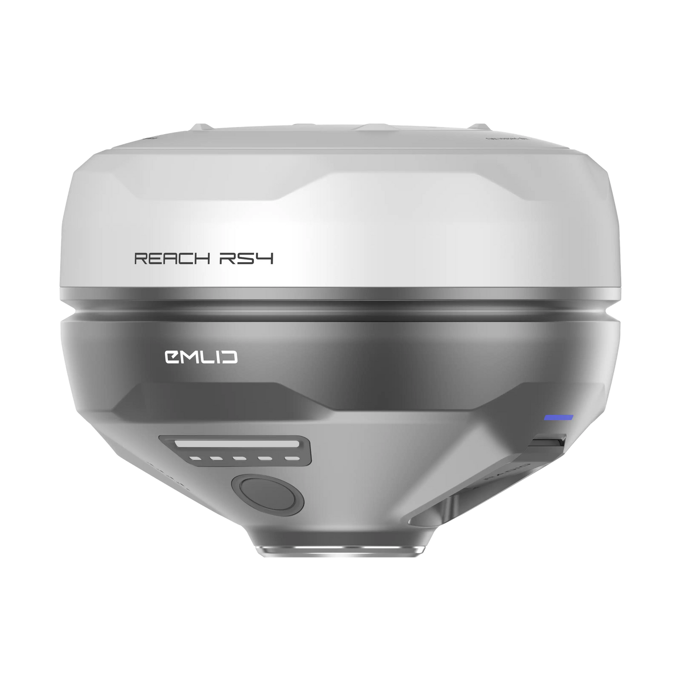
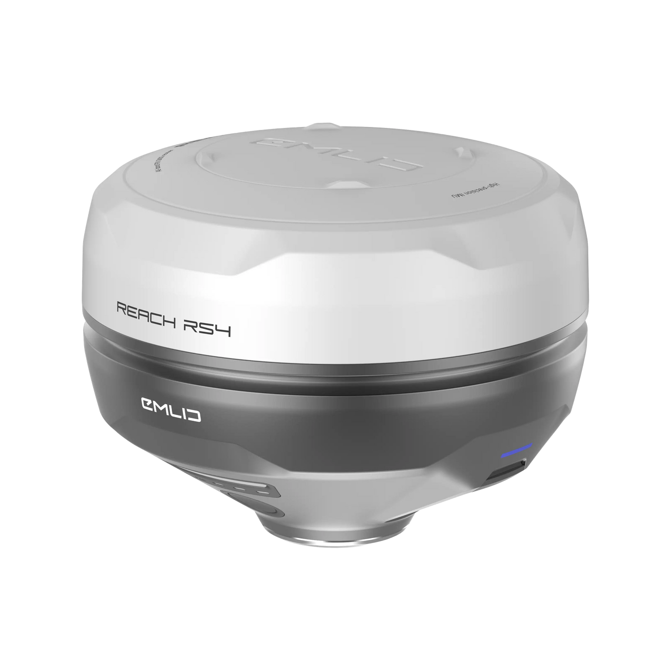
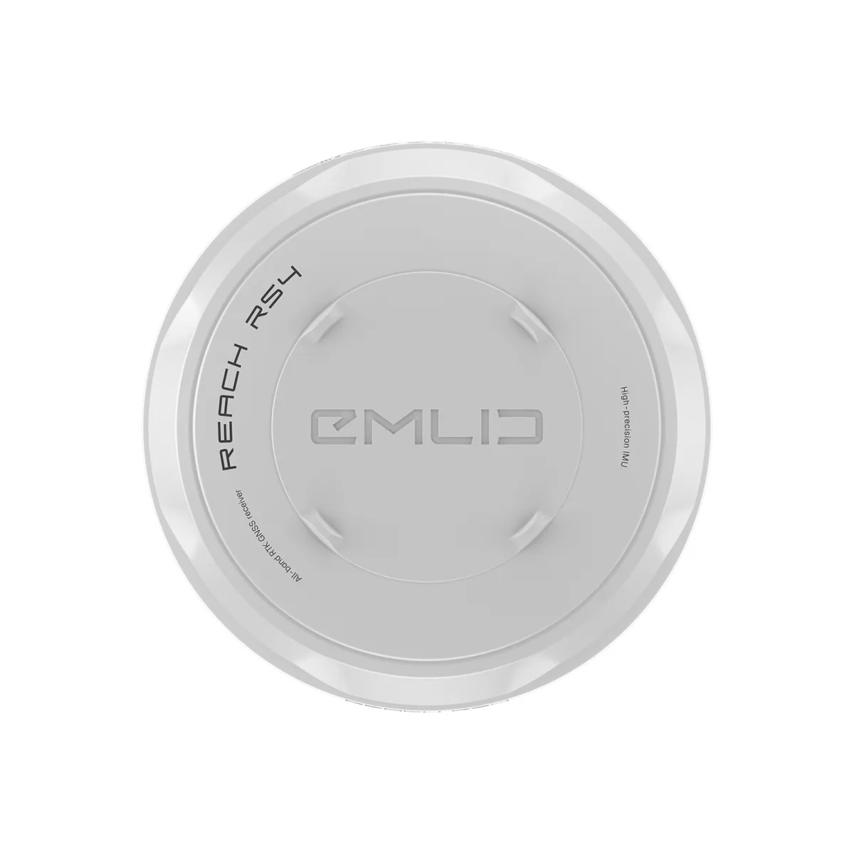
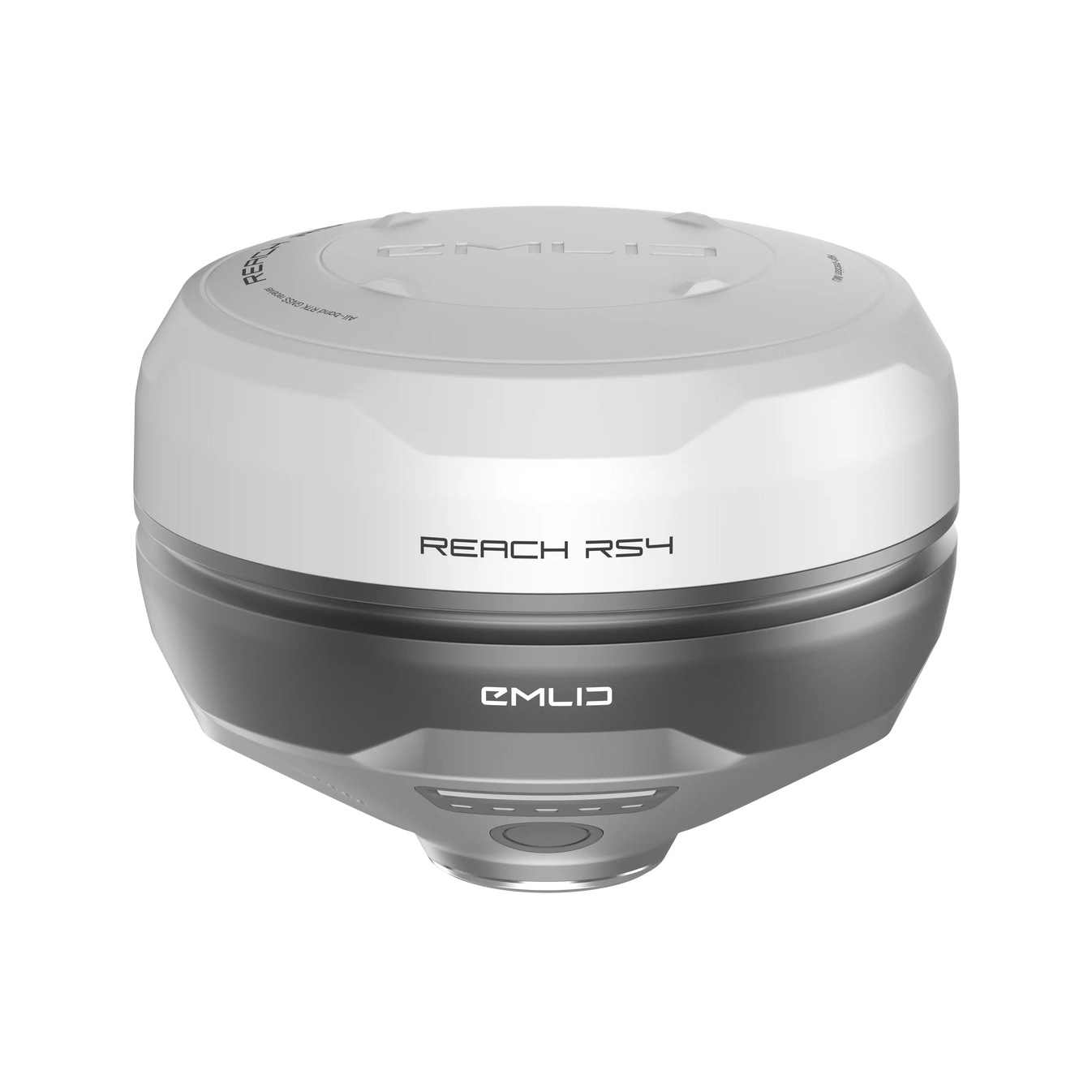
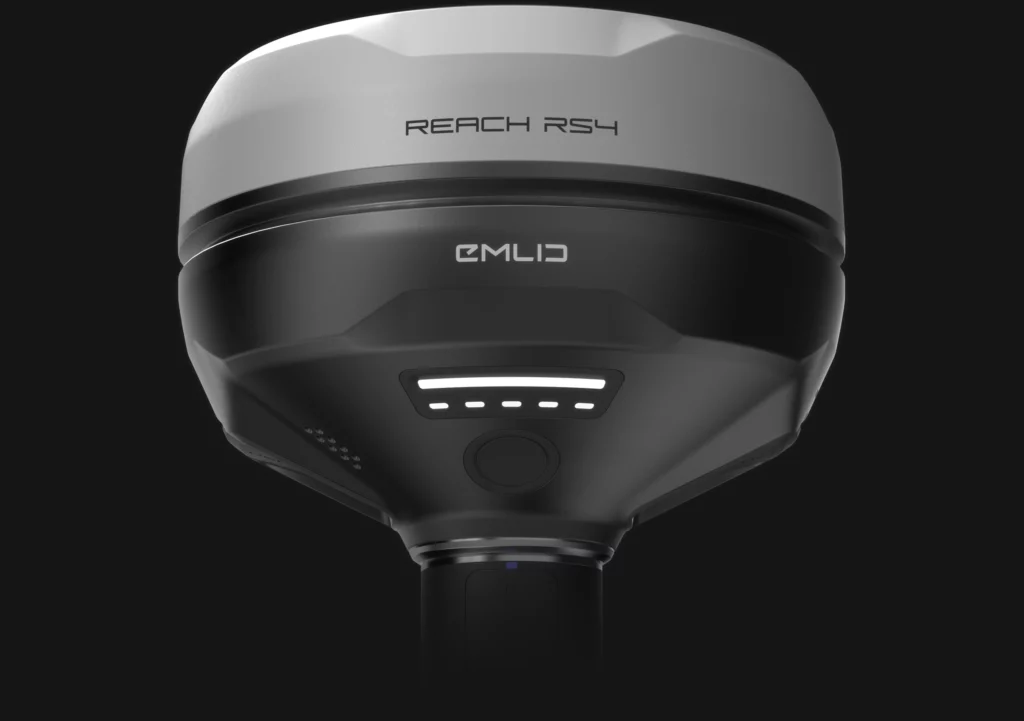
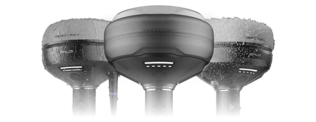
Emlid Reach RS4
All-band RTK GNSS receiver. Ultimate precision, even in the most challenging conditions.
High-accuracy, even under canopy

The Reach RS4 can track all available satellite constellations and frequencies, including the lower L5 and L6 bands, which are more resistant to multipath and interference. With 672 channels, it can track 40+ satellites at a time. These features ensure reliable performance and centimeter-level precision

7mm + 1 ppm in RTK / 672 channels / L1/L2/L5/L6 / Fix in less than 5 seconds / GPS, GLONASS, Galileo, BeiDou, QZSS, NavIC
Next-gen tilt compensation

The Reach RS4 delivers accurate results even at high tilt angles — for example, a 30° tilt still achieves 18 mm precision.1 The compensation mechanism activates with just a few moves and remains stable throughout the survey, saving time and avoiding the need for recalibration.

Factory-calibrated / Immune to interference / Faster initialization / No angle limit
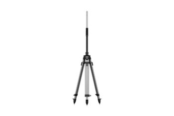
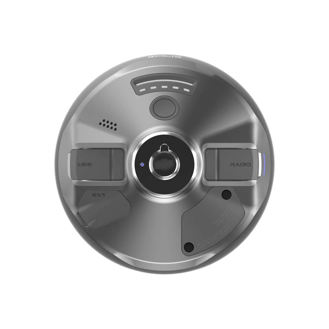
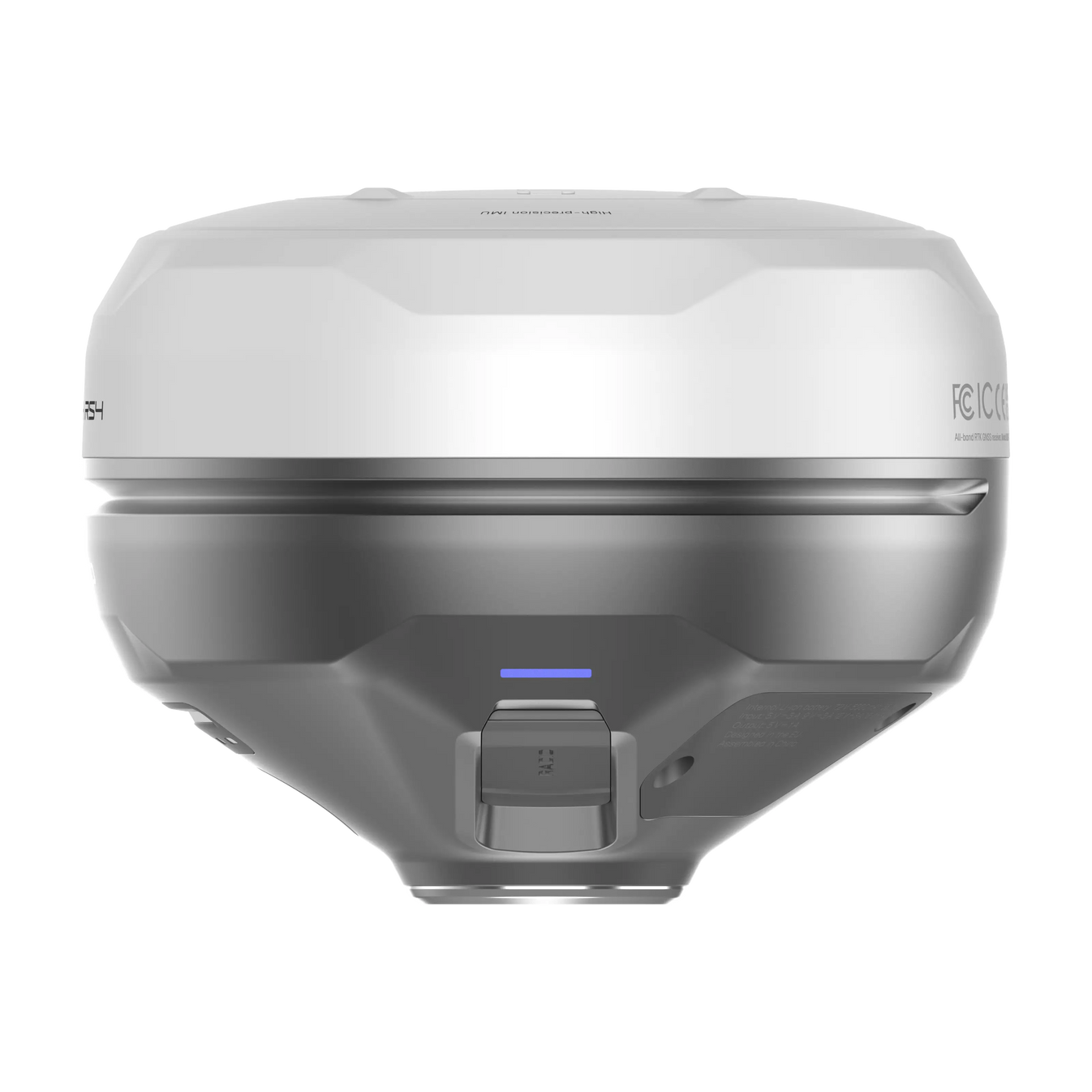
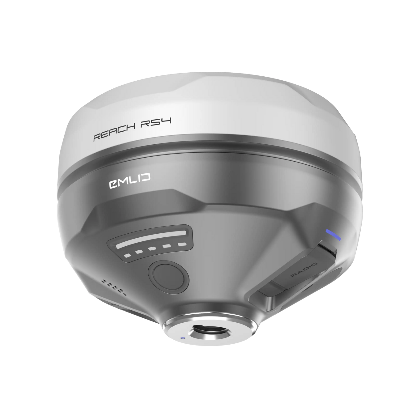
Quick release mount
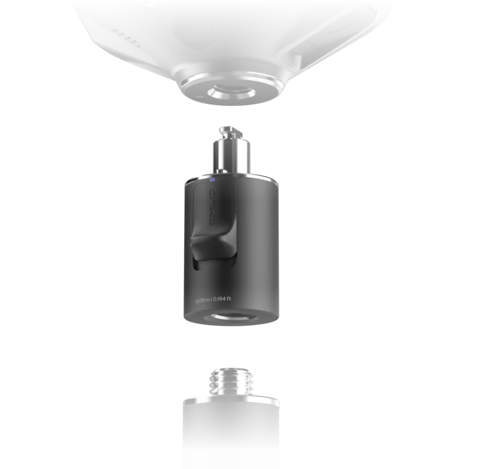
This mount is specifically designed for tilt compensation, eliminating backlash and securing the receiver firmly to the survey pole. Even a small amount of wobble between the device and the pole can compromise the accuracy when tilting. The quick-release system provides a fast and reliable connection for maximum precision.
Base and rover
NTRIP
Work in RTK with VRS or a single baseline CORS network in RTCM3 format. You can also connect another GNSS receiver as an NTRIP base using Emlid NTRIP Caster
Dual-band radio
UHF 450 MHz:
![]() Transmit and receive / Up to 2W / Compatible with Reach and 3rd-party receivers with TRIMTALK 450S support3
Transmit and receive / Up to 2W / Compatible with Reach and 3rd-party receivers with TRIMTALK 450S support3
LoRa 915 MHz:
Transmit and receive / Up to 1W / Compatible with Reach receivers
Built to perform in extreme conditions
Magnesium alloy body
The RS4’s magnesium alloy body is as strong as it is lightweight. This material is often used for aerospace equipment and high-end electronics. It strikes the perfect balance of durability and lightness, making it ideal for use in tough conditions while remaining easy to handle.

16 hours on one charge
The RS4 offers an impressive battery life of up to 16 hours on a single charge. Use the USB-C for recharging or use a power bank for even greater flexibility. Designed to keep working as hard as you do, without interruption.

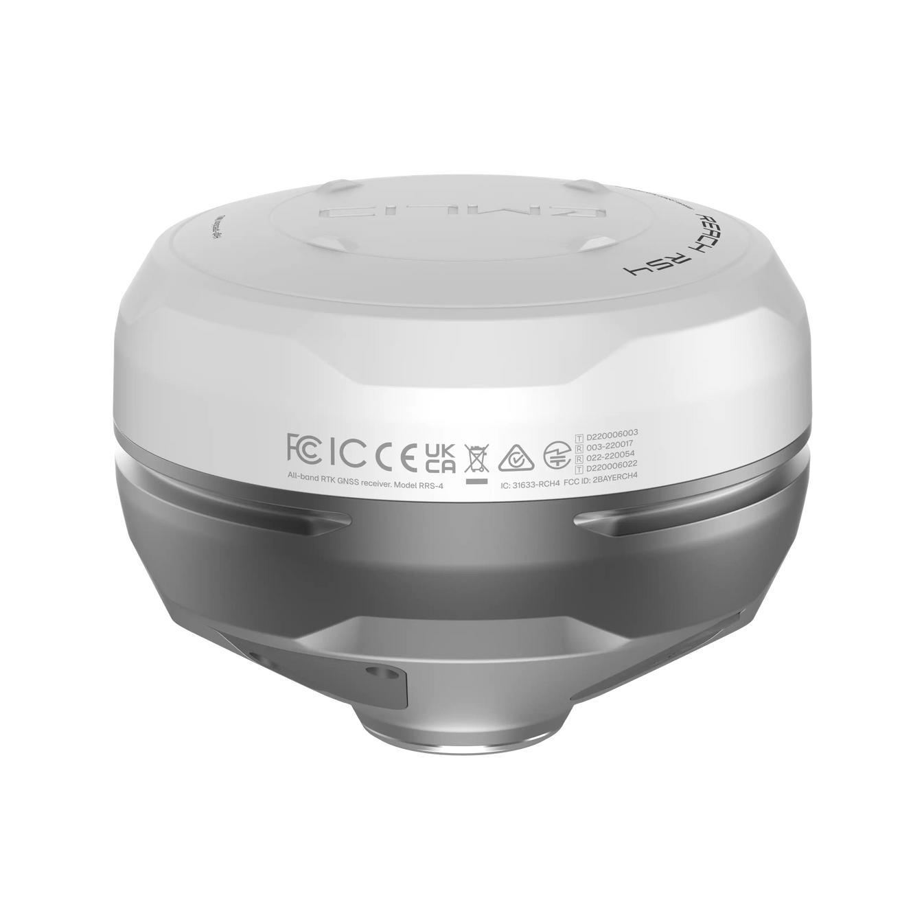
Waterproof
Thanks to its IP68 rating, the RS4 is fully dustproof and waterproof. Whether it’s raining, snowing or a dusty construction site, the Reach RS4 will keep working.

-40 to +65 ºС
The Reach RS4 operates in temperatures from -40°C to +65°C. Its performance remains excellent in both freezing cold and scorching heat.
Software for every stage of your project
The Reach RS4 comes with Emlid Flow, a comprehensive mobile and cloud solution compatible with both iOS and Android. It keeps your team aligned and your projects on track while supporting various site tasks.
Coordinate your team
 Invite team members, share projects and manage access
Monitor field progress from the office and exchange data instantly with real-time sync
One workflow for the whole team, with data that is always up to date, a consistent interface, and no additional training required
Execute projects on site
Topographic surveys – gather terrain and elevation data accurately
 Stakeout & layouts – place points, lines, and markers directly in the field
Line & road surveys – stake centerlines and offsets with precision
Cut & Fill calculations – measure earthworks and stockpiles on site
As-built verification – check constructed structures against your plans
Specification
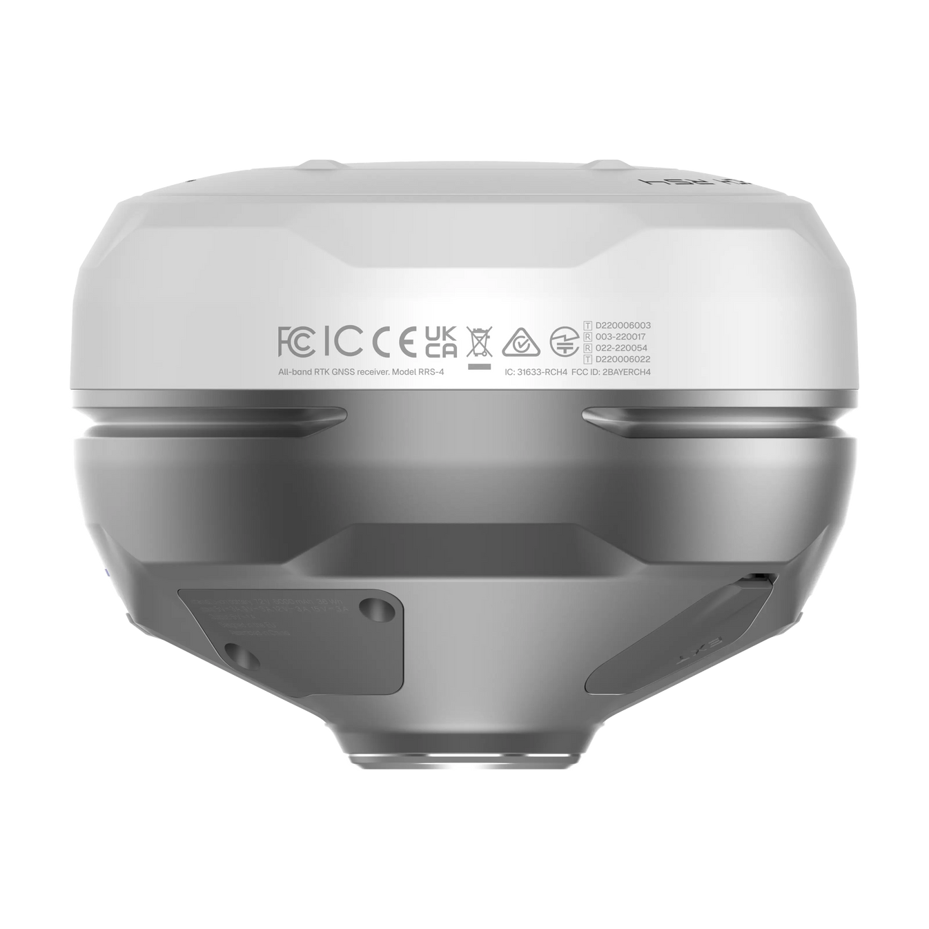
Mechanical
- Dimensions: 128.6 x 128.6 x 99.3 mm
- Weight: 920 g
- Operating temperatures: -40 to +65 °C
- Ingress protection: IP68
Electrical
- Autonomy 16 hrs as RTK rover with tilt
- Battery Li-Ion 5000 mAh, 7.2 V 36 Wh
- Charging USB Type-C (PD): 5V—3A, 9V—3A, 12V—3A, 15V—3A
Positioning
- Static H: 4 mm + 0.5 ppm, V: 8 mm + 1 ppm
- PPK H: 5 mm + 0.5 ppm, V: 10 mm + 1 ppm
- RTK H: 7 mm + 1 ppm, V: 14 mm + 1 ppm
- Tilt compensation: RTK + 2 mm + 0.3 mm/°
- Convergence time: ~5 s typically
Connectivity
- LoRa radio up to 1W
- Frequency range: 868/915 MHz
- Power: 0.1 W
- Distance: Up to 8 km
- UHF radio up to 2W
- Frequency range: 410–470 MHz
- Protocols: TRIMTALK 450S
- Modulation type: GMSK
- LTE modem
- Regions: Global
- Bands:
- FDD-LTE: 1, 2, 3, 4, 5, 7, 8, 12, 13, 18, 19, 20, 26, 28
- TD-LTE: 38, 39, 40, 41
- UMTS (UHPS/FDD): 1, 2, 5, 8, Quad-band, 850/1900, 900/1800 MHz
- SIM card: Nano-SIM
- Wi-Fi: 802.11a/b/g/n
- Bluetooth: 5.1 (BR/EDR + LE)
- Ports: RS-232, USB Type-C
Data
- Corrections: NTRIP, RTCM3
- Position output: NMEA, LLH/XYZ
- Data logging: RINEX, NMEA, LLH/XYZ, UBX
- Internal storage: 16 GB
GNSS
- Signal tracked:
- GPS: L1C/A, L2C, L5,
- GLONASS: L1OF, L2OF,
- Galileo: E1-B/C, E5a, E6,
- BeiDou: B1I, B1C, B2a, B3I,
- QZSS: L1C/A, L1C/B11, L2C, L5,
- NavIC: L1-SPS Data, L5-SPS
- Number of channels: 672
- Update rates: up to 10 Hz