Beskrivelse
![]()

Prisområde: kr 3 800 til kr 84 800 eks. MVA
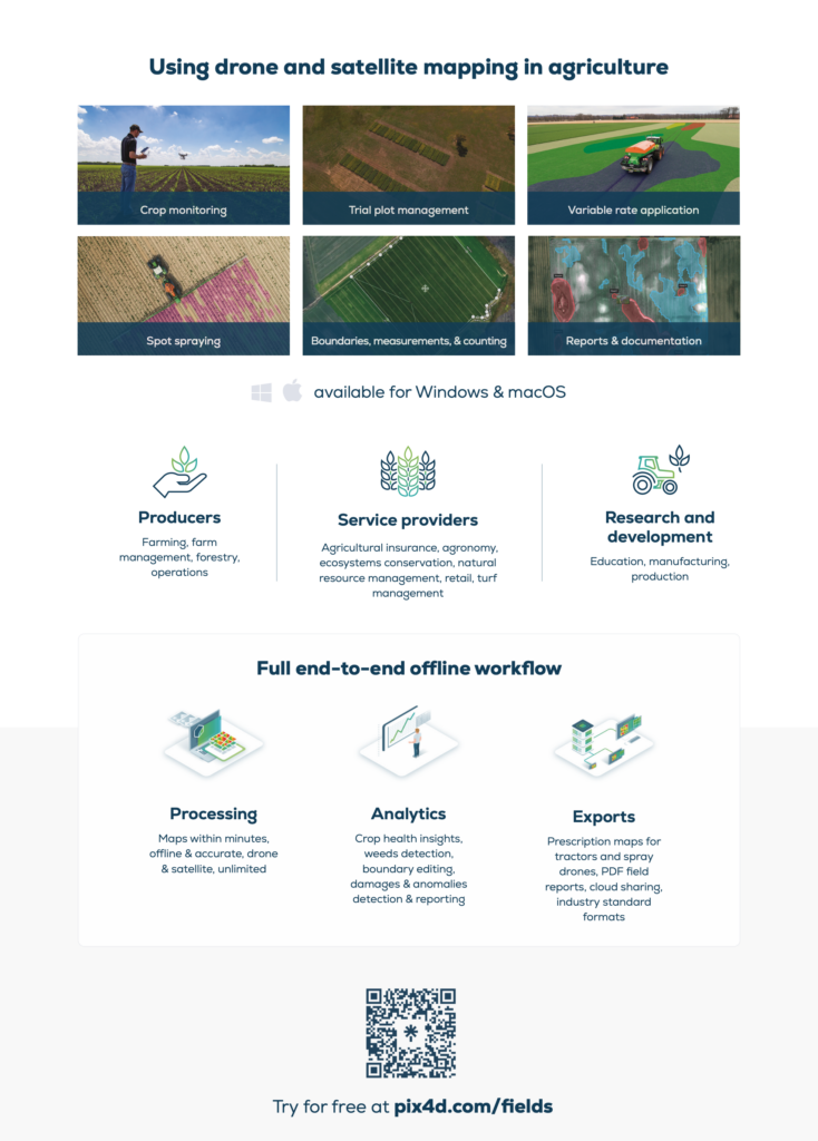
Precision agriculture mapping software for high efficiency and productivity.
Actionable data and insights from drone imagery for crop analysis and digital farming. Create accurate maps in minutes and identify issues using calibrated multispectral or full resolution RGB images. Share your data via PIX4Dcloud or a PDF report.
![]()
| Lisens varighet | Månedlig, Årlig, 3-år, One-Time Charge Commercial, One-Time Charge Non-Commercial |
|---|